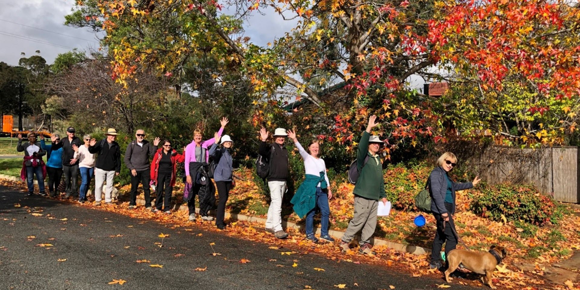
Walk Features: This loop walk takes you from the Shops through the streets, playgrounds and reserves. On the way you will visit Ellen Clark Park.
Duration of the walk: About 1 hour and 35 minutes.
Region: Belconnen.
Information about the Suburb: Weetangera was gazetted in 1968 and named after the Aboriginal word for the property Springvale Wittinjirra. Its streets are named ACT pioneers and the Southwell family.
Walk Directions
Click here for a pdf version of the walk directions.
To get to the start of the walk proceed north along Coulter Dr. Turn L into Shumack St and follow it around to the shops on Weetangera Pl.
Note that streets in brackets means there is no street sign at this point of the walk.
- Go around behind the Shops and take a concrete path straight out across the park with a playing field on your L.
- Go R onto (Southwell St) and pass Davis St on your L.
- Go L onto Gillespie St.
- Go R onto Morton St.
- Go L at Smith St.
- Proceed into Ellen Clark Park taking the concrete path straight ahead and around to the L past signs (WW1 Belconnen Enlistments; A place for learning) and a playground on your R.
- Before the (Belconnen Way) underpass go R up a concrete path.
- Go R down a concrete path back into the park. Follow it around to the L.
- Go L onto (Kinleyside Cr).
- Go L on a concrete path.
- Cross over (Shumack St) and proceed down Bambridge St passing Crace St on your R.
- Go L on a concrete path between numbers 7 and 9.
- Go R onto (Belconnen Way).
- Go R on a concrete path through a reserve.
- Go L into Gibbes Pl.
- Proceed out from the end of Gibbes Pl on a concrete path.
- Go R onto (Coulter Dr).
- Just past number 13 go R on a concrete path.
- Proceed down (Coppin Pl).
- Go L onto Bambridge St.
- Go L onto Matheson Cr.
- Go L up a concrete path between numbers 17 and 19.
- Go R at (Coulter Dr) passing Lachlan St on your L.
- Just past a bus shelter go R down and past a lamp post on your R leaving the underpass behind.
- Proceed on a concrete path running behind houses on your L and the park on your R.
- Go R onto (Kilby Cr) passing a playground over to your R.
- Go L onto Abernethy St and pass Kilby Cr on your L.
- Go L into Vest Pl and take the concrete path out from its end.
- Go R onto (Coulter Dr).
- Just past a bus stop, go R down a concrete path.
- Proceed down (Line Pl).
- Go L onto Abernethy St and pass Packer St on your R.
- Go L onto Shumack St.
- Go R onto (Coulter Dr).
- Just past a bus stop go R down a concrete path.
- Go L onto (McLachlan Cr).
- Go R on a concrete path between numbers 18 and 20.
- Cross over (Harcourt St) and continue straight ahead.
- Cross over the top of (Mowle Pl) into a park and over to a playground.
- Proceed to the road straight ahead.
- Go R onto (De Salis St) and pass Plummer St on your L and Mowle Pl on your R.
- Go L onto Shumack St.
- Past number 80 go L on a concrete path into a park.
- Turn R on a concrete path across the park.
- Proceed down (Jones Pl).
- Go L onto McKeahnie St.
- Go R onto O’Rourke St.
- After number 28 go L on a concrete path.
- Go R on (Springvale Dr).
- After number 69 go R on a concrete path.
- Go L at (O’Rourke St).
- Go R onto Southwell St.
- Go L on a concrete path leading to a playground.
- Follow the fence line uphill with a hockey field on your R and a playing field over to your L.
- Continue straight ahead past a playground on your R.
- Veer L to proceed through a low wooden fence and back to the Shops.

