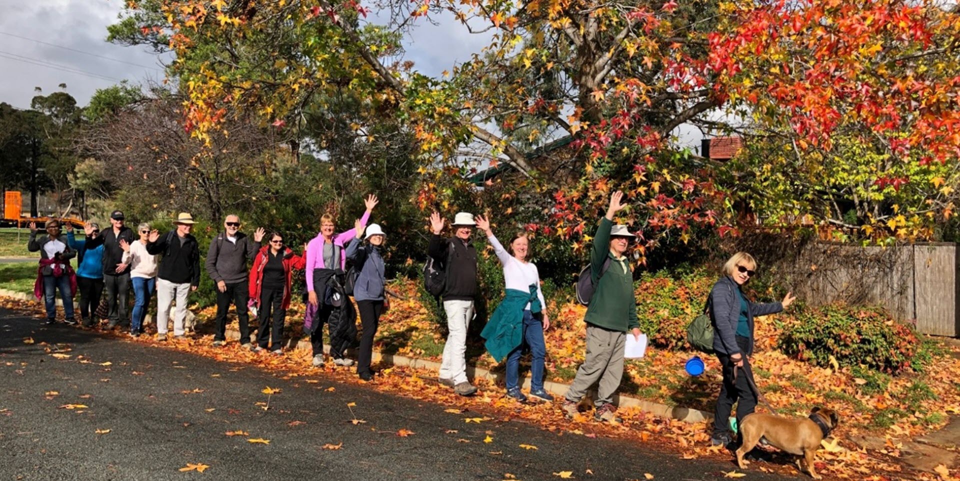
Walk Features: This loop walk takes you from the Shops through the leafy streets, playgrounds and reserves. You will also pass Billabong Park, its pond and the Honey Eater Rising artwork. Some of the walk is on dirt tracks.
Duration of the walk: About 1 hour and 30 minutes.
Region: North Canberra.
Information about the Suburb: Watson was established in 1960 and named after the third Prime Minister of Australia, John Christian Watson. Its streets are named after Australian judges and other legal professionals.
Walk Directions
Click here for a pdf version of the walk directions.
To get to the start of the walk proceed north on the Federal Highway, then right onto Phillip Ave, left on Windeyer St and park at the Shops on your left.
Note that streets in brackets means there is no street sign at this point of the walk.
- Facing away from the Shops, proceed out to Windeyer St and go R, passing Gwynne St on your R.
- Go R onto Burton St.
- Go L onto A’Beckett St passing Stow Pl, Wade St and Street Pl on your R.
- Opposite Innes St go R on a concrete path and proceed through the parkland.
- Veer R around a playground on your L and continue uphill.
- Cross over (Knox St) and go R then L on a concrete path before the bus shelter.
- Follow the concrete path with the playing field on your R.
- Pass a toilet block on your L.
- Go R on a concrete path alongside (Dickinson St) on your L and the playing field on your R.
- Follow this street and then proceed L over towards a playground passing it to your R on a dirt track.
- Cross over a concrete path and continue straight ahead on the dirt track.
- Pass a seat on your L.
- Cross over Piddington St. and continue straight ahead on a concrete path.
- Veer R on a concrete path and proceed under the power lines.
- Go L at Roma Mitchell Cr.
- Opposite number 17 go L on a concrete path as it heads down to and along Billabong Park with a pond on your L. Note the Honey Eater Rising artwork on your L.
- Pass seats on your R and at a viewpoint on your L, go R onto Bettie McNee St.
- Pass Flos Greig St on your R.
- Go R onto Mary Kitson St and pass Hallenstein Lane on your L.
- Opposite number 18 go L on a concrete path passing a playground over to your R.
- Go R onto McClemans St.
- Go R into Ada Evans St.
- Go L onto Mary Kitson St.
- Go R onto Roma Mitchell Cr and pass Flos Greig St on your R.
- Opposite number 47 and just before a pedestrian crossing go L across the reserve under power lines and into trees.
- Go L on a bitumen/gravel path under the trees.
- Go R through a low wooden fence and across a reserve on a dirt track.
- Cross over (Irvine St) and take the R fork on a concrete path.
- Pass a playground on your R.
- Before reaching (Irvine St), go L on a concrete path into (Williams St).
- Go R onto Cullen St.
- Cross over (Knox St).
- Just next to number 116 proceed on a dirt track into parkland with a bus shelter over on your R.
- Veer L on a concrete path.
- Pass a playground on your L.
- Continue straight ahead to the fence around the Rosary Catholic Primary School.
- Go R onto (Higinbotham St) passing the school playing field on your L.
- Pass Madden Pl then Andrews St on your R.
- Continue straight ahead on the concrete path alongside Dobson St.
- Pass Dobson Pl on your R.
- Go R onto Windeyer St and pass Burton St on your L.
- Go L onto Gwynne St and back to the Shops.

