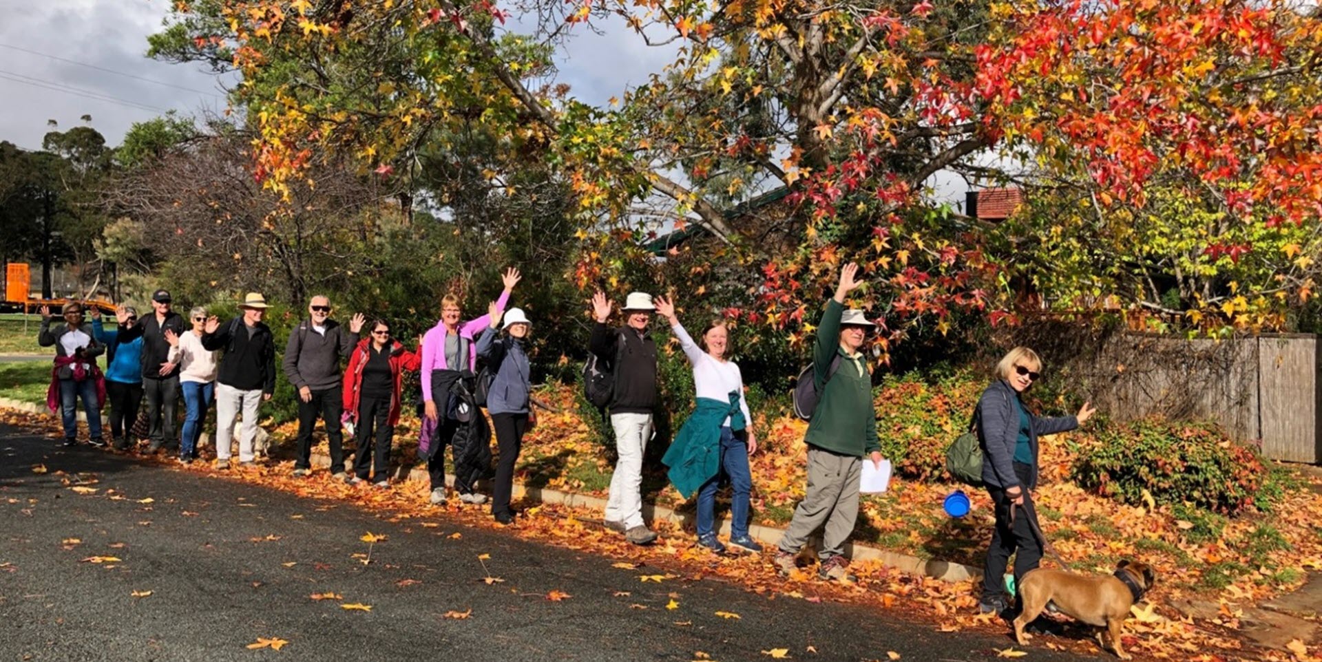
Walk Features: This loop walk takes you from a car park to playgrounds, and along water courses and ridges and close to wetlands.
Duration of the walk: About 1 hour and 40 minutes.
Region: Gungahlin.
Information about the Suburb: was established in 1991 and named after magazine publisher Florence Mary Taylor, who was editor of and writer for several Australian building industry journals including the influential Building magazine. Until 1991, the suburb Taylor was part of the former ‘Gold Creek’ a 1,594–hectare rural property with the Gold Creek Homestead at its centre. Development of the suburb began in 2017.
Walk Directions
Click here for a pdf version of the walk directions.
To get to the start of the walk proceed west along Horse Park Drive. Go R onto Sutherland Cr and then opposite Trevor Gibson Way proceed into the car parks and park in the one on your R.
Note that streets in brackets means there is no street sign at this point of the walk.
Directions for the walk
- From the car park facing the grassy slope, proceed out to a concrete path and go R.
- Go L on a concrete path through coloured concrete walls into the playground.
- Proceed through the playground and go R on a concrete path.
- Cross over (Sutherland Cr) and continue straight ahead.
- Cross over (Shugg St) and continue straight ahead through the (Pewani Community Park).
- Pass seats on your R.
- Continue straight ahead across a grassy area at the end of (Woodward Loop).
- At the roundabout go R on Grenfell Av.
- Go L on McCredie St.
- Pass Butterworth St on your R.
- Go R on Mottram St.
- Go L on a concrete path into (Taylor West) playground.
- Proceed out of the playground on a concrete path to cross over a water course.
- Go R on a bitumen path.
- Pass Buhrich St on your L.
- Pass Baldwinson St on your L.
- Continue on the bitumen path alongside Marjorie Matthews St on your L and a water course on your R.
- Cross over a bridge and continue on the bitumen path for quite some way.
- Cross over Robyn Boyd Cr and continue straight ahead on the bitumen path.
- Cross over Harry Seidler Cr and go R on a bitumen path with a water course on your L.
- Pass Olive Mellor Tce on your R.
- Pass Bebarfalds Ln on your R.
- Pass a playground on your R.
- Go L on Robin Boyd Cr.
- Pass Pholeros Way on your R.
- Cross over Dorney Rise and go R.
- Go L on a bitumen path uphill.
- Continue all the way uphill and along the ridge until you come to a seat. Sitting on the seat and looking ahead and slightly to your R, you will see two rows of large rocks on either side of a tree. The L hand row points to Mt Majura and the R hand row points to Mt Ainslie. There is also a row on your R pointing to One Tree Hill. Note also the grid reference inscribed into the concrete (6109159776 691954641).
- From the seat pass the two rows of rocks on your R and proceed downhill on the concrete path.
- Proceed down steps.
- Cross over (Gordon Ford Way) and continue downhill on a concrete path.
- Cross over (Crone Tce) and continue straight ahead on a concrete path.
- Cross over Borland St and continue straight ahead.
- Go L on a concrete path to continue along the ridge.
- Pass a seat on your R.
- Go R on a concrete path and soon after note a map reference inscribed in the concrete (-35.144869 149.109926).
- Go L on a concrete path to proceed downhill.
- Go L on a concrete path.
- Cross over Dorney Rise and continue straight ahead on a concrete path alongside Thelander St.
- Go R on Chadwick St.
- Opposite Perrott St go L on a concrete path between houses.
- Cross over (Judith MacIntosh Cr) and proceed on a concrete path around to your R.
- Pass through an unusual nature reserve and continue down to (Romberg Way) with houses on your R.
- Go L on Romberg Way.
- Pass Winsome St on your L.
- Pass Whitman Cr on your R.
- Pass Holgar Cr on your R.
- Pass Holgar Cr again on your R.
- Pass Whitman Cr on your R.
- Opposite Iwanaoff St, go R on a concrete path.
- Pass a concrete path on your L.
- Take the L fork on a concrete path downhill.
- Go L on a bitumen path to proceed alongside a water course on your R.
- Go R on (Everist St) to cross a bridge over wetlands.
- Pass Corkery Cr on your L.
- Opposite Mollie Shaw Way go R across a bridge.
- Go L on a bitumen path (noting the steps straight ahead).
- Go L on Romberg Way.
- At the roundabout, cross over (Sutherland Cr) and go L on a concrete path.
- Pass a pond on your R.
- At the end of the pond, go R on a bitumen path.
- Continue on the bitumen path with the wetlands down to your R.
- Pass a seat on your L.
- Go L uphill on a concrete path.
- Pass a concrete path on your L and continue around with playing fields on your L.
- Continue on the concrete path back to the car park up on your L and the end of the walk.

