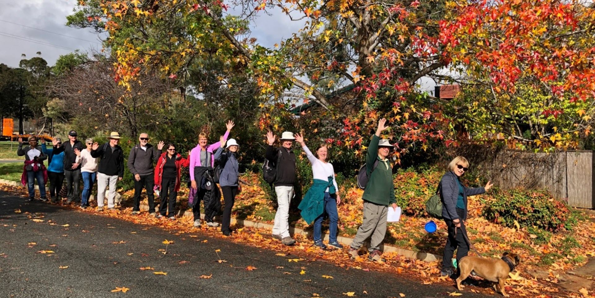
Walk Features: This loop walk takes you from the Shops through the streets, playgrounds and reserves.
Duration of the walk: About 1 hour and 50 minutes.
Region: Belconnen.
Information about the Suburb: Scullin was established in 1968 and named after Labor Prime Minister James Scullin (1929 to 1932). Its streets are named after aviators.
Walk Directions
Click here for a pdf version of the walk directions.
To get to the start of the walk proceed west along Belconnen Way. Turn R into Chewings St, L into Ross Smith Cr. Follow it all away around to the shops on the R on Scullin Pl.
Note that streets in brackets means there is no street sign at this point of the walk.
- Facing away from the Shops go L down Scullin Pl passing a high metal sculpture on your R.
- Cross over (Ross Smith Cr) to proceed onto a concrete path towards a playing field and alongside (Southern Cross Early Childhood School) on your L and a seat on your R.
- At a playing field continue straight ahead then cross over (Broadsmith St) and continue straight ahead passing a playground on your R.
- DO NOT go through the underpass but go R on a concrete path up towards (Southern Cross Dr).
- At a bus stop go R down a concrete path.
- At the end of the park go L onto (Hargrave St).
- Go R on a concrete path into a park.
- Follow it around to your L past a playground on your L.
- Go R onto (Broadsmith St).
- Go L onto De Garis Pl.
- Proceed out from its end on a concrete path with houses on your R and a park on your R.
- Pass a playground on your L.
- Go L on a concrete path with a playground on your L.
- Proceed out of the park and down (Shiers Pl).
- Go R onto Broadsmith St.
- Pass Hargrave St on your L.
- Go L onto Ross Smith Cr.
- Go R onto McMasters St.
- Go L onto Boulton Cl.
- As Boulton Cl goes around to your L and before number 33, take a concrete path to your R between houses.
- Go R at a junction and proceed on a concrete path straight ahead and through a reserve between houses.
- Go L onto (Harrison St).
- Go L on a concrete path uphill.
- Go R onto (Chewings St).
- Just before a white iron railing bridge, go R down a concrete path.
- Go R at an underpass. DO NOT go through the underpass.
- Go L onto (Harrison St).
- Just past number 14, go L on a concrete path between houses.
- Go R onto (Chewings St).
- Cross over McGinness St and continue straight ahead past a bus stop.
- Past number 39 go R on a concrete path.
- Go L onto McIntosh St.
- Pass Parer St on your L.
- Go L onto Adair St.
- Just past number 20 go sharp L on a concrete path past a red gate into parkland.
- Go L on a concrete path to proceed uphill to a playground on your R.
- Go L onto (Parer St).
- Go R onto Parer Pl.
- Proceed out from its end to your L on a concrete path into a park beside houses on your L.
- At the top of the park near a bus stop go R and then R again down the other side of the park back to (Parer Pl).
- As you enter (Parer Pl) go L on a concrete path between houses.
- Go R onto (Broadbent St).
- Pass Parer St, Baird Pl and Affleck Pl on your R.
- Cross over Ross Smith Cr into a park on a concrete path.
- Pass a playground on your R.
- Go R onto Duigan St.
- Pass Pickles St on your L.
- Go R onto Mackinolty St..
- Go L onto Ross Smith Cr.
- Go L on a concrete path opposite Holyman St..
- Go R onto (Kauper St).
- Go R onto Hinkler St.
- Go L on a dirt track across a park towards the (Kingsford Smith Dr) underpass.
- Go sharp R on a concrete path back across the park leaving the underpass directly behind you.
- Go L onto Ulm St.
- Pass Ulm Pl on your L.
- Go L on a concrete path through a park.
- Proceed down (Jindivik Pl).
- Go L onto Ulm St.
- Go R onto Wirraway Cr.
- Go L onto Broadsmith St.
- Upon reaching a playing field, go R on a concrete path and follow it down past the (Southern Cross Early Childhood School) on your R and a playing field on your L.
- At the end of the school fence and just past a seat, go R on a concrete path alongside the school fence on your R.
- Cross over (Ross Smith Cr).
- Proceed up (Scullin Pl) back to the Shops.

