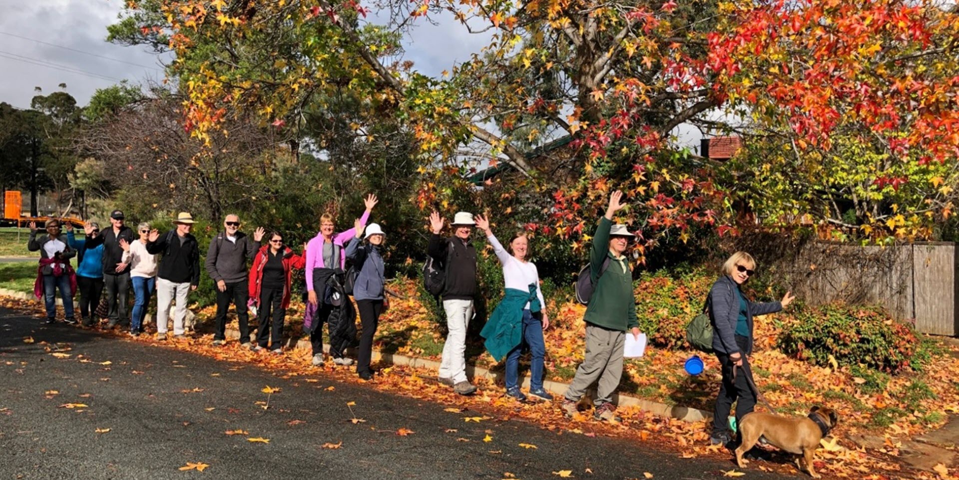
Walk Features: This loop walk takes you through the streets and playgrounds and around, up and over Oxley Hill.
Duration of the walk: About 1 hour and 45 minutes.
Region: Tuggeranong.
Information about the Suburb: Oxley was established in 1985 and named after the explorer John Joseph William Molesworth Oxley (1783 to 1828), who explored parts of New South Wales. It is the smallest suburb in Canberra and its streets are named after social reformers.
Walk Directions
Click here for a pdf version of the walk directions.
To get to the start of the walk proceed south down the Tuggeranong Parkway and Drakeford Dr. Go L into Taverner St then R into Newman-Morris Cct, then R into Connibere Cr. Follow it around and park near a path running R from a curve opposite house number 23.
Note that streets in brackets means there is no street sign at this point of the walk.
- Proceed out from Connibere Cr via a concrete path.
- Go L on a concrete path as it runs behind houses.
- Go L at a junction where an underpass is over to your R.
- Go L onto (Singleton Cr).
- Cross over Newman-Morris Cct and continue straight ahead up a concrete path between houses.
- Go L onto Schonell Cct and then pass another entrance to Schonell Cct on your R.
- Go R onto Newman-Morris Cct.
- Just past a bus shelter go L on a concrete path into a park.
- Go R on a concrete path that proceeds around the park past a playground on your R and seat and picnic tables on your L.
- Go R onto Newman-Morris Cct.
- Go L up Clutterbuck Cr.
- Go R onto Lamble Pl.
- Proceed out from its end on a narrow dirt track.
- Go R on a gravel fire trail and follow it around behind houses on your R.
- Proceed downhill then go R and then L on the trail as it proceeds behind houses on your R.
- Follow the trail around and down through a red gate onto (Cuthbertson Cr).
- Go R onto (Cuthbertson Cr).
- Go R onto Newman-Morris Cct.
- Pass Badger Pl on your L.
- Go L onto Collocott Cr.
- Past number 32 continue straight ahead across a grassy area.
- Go L on a bitumen path alongside (Erindale Dr) on your R.
- Pass Charleston St and then Erindale Dr underpass, both on your R.
- Cross over (Judkins St) and continue straight ahead. Keep on the path as it goes around to your L.
- Follow the path alongside (Hazel Smith Cr) then at number 24 go L off the path onto Hazel Smith Cr.
- Go L onto Newman-Morris Cct and then pass Hazel Smith Cr on your L, Nunan Cr on your R, McIlveen Pl and then Judkins St both on your L.
- Go R onto Cuthbertson Cr.
- Pass Kirby Pl on your R.
- Pass one red gate on your R but then opposite number 8, go R through a second red gate up a gravel path.
- After about 20 metres go R onto a narrow dirt track.
- Go L on the path as it proceeds up to Oxley Hill trig.
- Proceed down from the trig ignoring a path to your L.
- Go R on a dirt track and proceed along it, ignoring a track to your L.
- Go L on the path as it goes down to a playground.
- Proceed through the playground and continue straight ahead uphill.
- Follow the path around with a hill on your L.
- As the path starts to go around to your L, go R down a short path.
- Go L on a gravel path opposite a concrete path.
- Go R down a narrow dirt track to (Lamble Pl) and proceed down to its end.
- Go L onto Clutterbuck Cr.
- Go L onto Newman-Morris Cct.
- At a bus shelter go R on a concrete path into a park.
- Go L at a junction and proceed down the path between houses.
- Go R then L into (Hammond Cl).
- Go R onto Newman-Morris Cct.
- Go L onto Connibere Cr.
- Pass Gosman Cl on your R.
- Follow this around and back to the start of walk.

