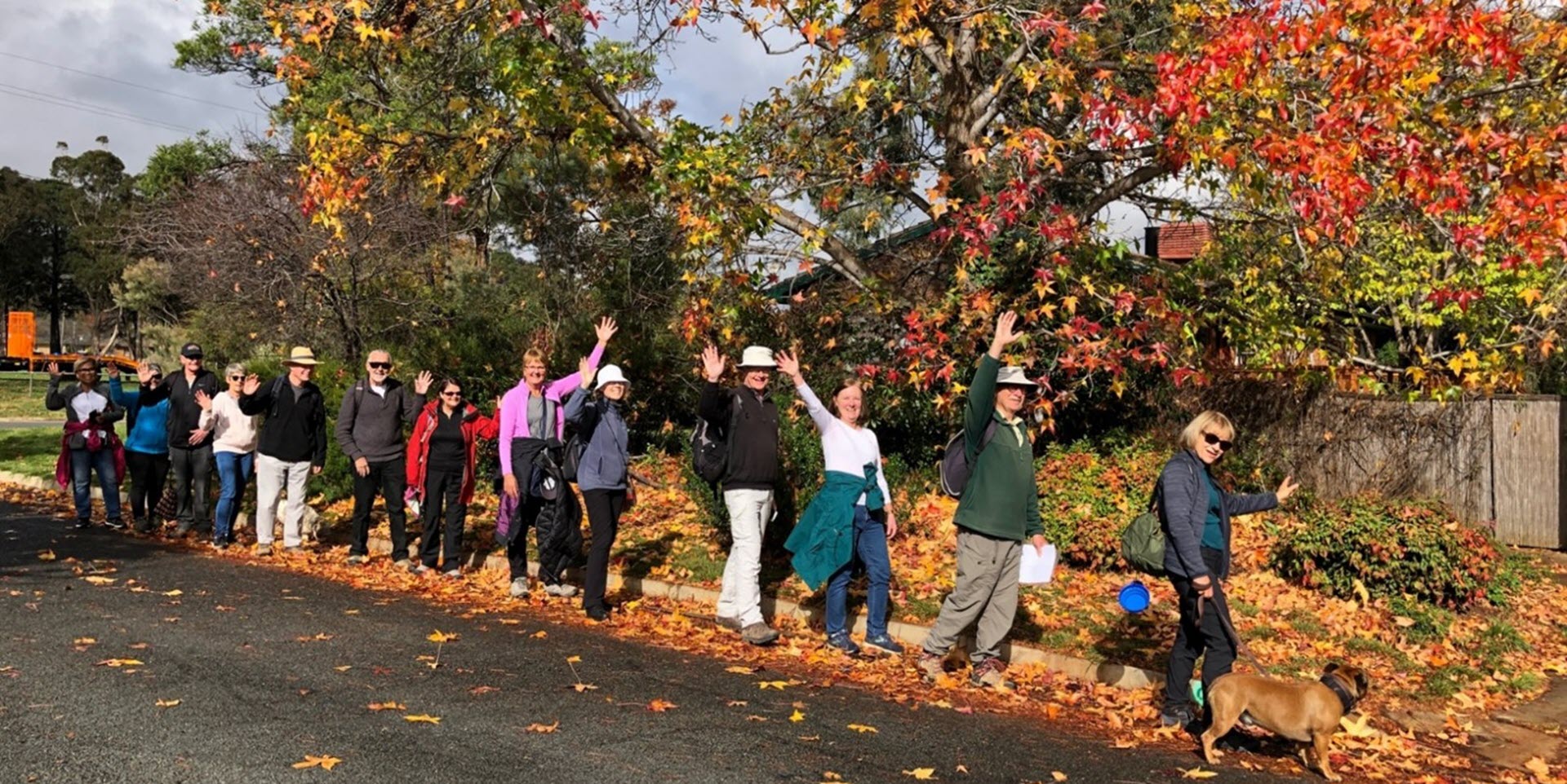
Walk Features: This loop walk takes you from Gillespie Park through streets and along the Queanbeyan and Molonglo rivers on a dirt track. It passes information boards about the history of the suburb.
Duration of the walk: About 1 hour.
Region: North Canberra.
Information about the Suburb: Oaks Estate takes its name from ‘The Oaks’, which was part of Duntroon, Robert Campbell’s farming estate. It is one of only a few place names in the ACT with significant connections to early colonial times. Street names mark the name of some significant historic figures in its development over the past 150 years.
Walk Directions
Click here for a pdf version of the walk directions.
To get to the start of the walk proceed out on Pialligo Av past the airport. Then go R on Oaks Estate Rd, then L onto Railway St, L onto River St and park near Gillespie Park on your L.
Note that streets in brackets means there is no street sign at this point of the walk.
- Facing away from the Queanbeyan Railway Station start at the entrance to Gillespie Park on the corner of River St and Railway St.
- Proceed through the gate into Gillespie Park.
- Proceed through the park passing a community garden on your L.
- Proceed out from the park on the corner of Hazel St and River St.
- Go R on Hazel St.
- Pass George St on your L and Robertsons’ House information board on your R.
- Pass McEwan Av on your R.
- Go R on William St and proceed to its end. Looking over to your L you can see the Queanbeyan cemetery and the railway bridge.
- Return along (William St) passing the community hall and a plaque honouring Captain Bede Tongs.
- Go R downhill on a dirt track at the start of the Oaks Estate River Corridor Heritage Walk.
- Pass the Queanbeyan Railway Bridge information board on your R and a grave with a large cross on your L.
- Go R down steps.
- Go L at the Queanbeyan River’s edge on a dirt track.
- Follow the track alongside the river passing the Hazelbrook and Clothiers Crossing information board and later the Aboriginal Connection to Place information board at the confluence of the Queanbeyan and Molonglo Rivers.
- When the track goes around to the L uphill, veer R on a narrow track past a picnic table and The River Street Ford information board.
- Follow the track out to the Crossing the Molonglo River information board.
- Go past the information board down to the river.
- Return to the information board and go R on a dirt track into the trees.
- Follow the track to the An Expansive Junction information board.
- Retrace your steps back to the picnic table alongside the river on your L. This diversion will take about 15 minutes return.
- Back at the picnic table, go R on the main track uphill through a red gate.
- Proceed up River St.
- Cross over Hazel St and back to the start of the walk.

