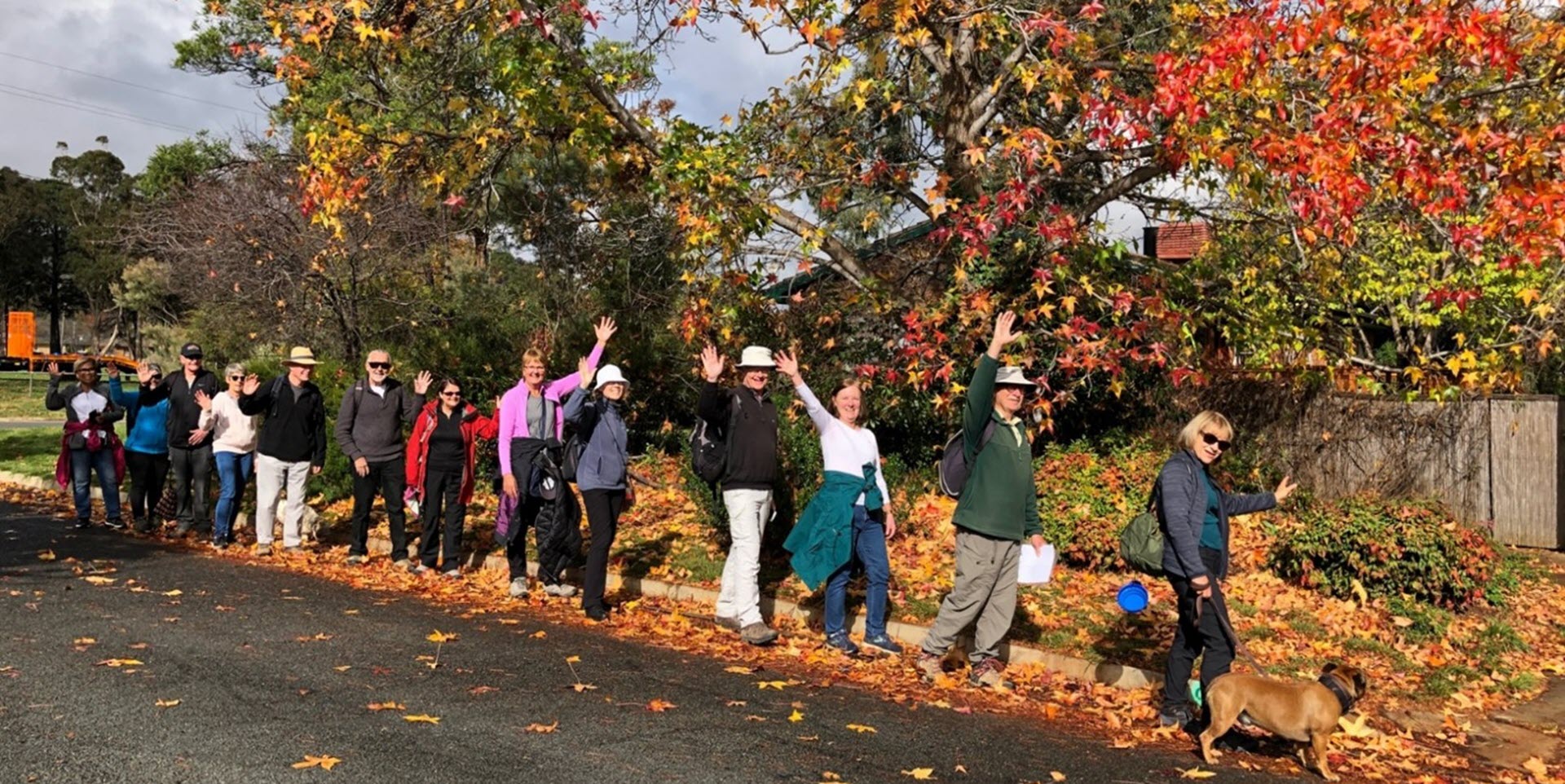
Walk Features: This loop walk takes you from a car park through parkland, streets and playgrounds. You go alongside Ginninderra Creek and up Goodwin Hill. There are two flights of steps on this walk.
Duration of the walk: About 1 hour and 30 minutes.
Region: Belconnen.
Information about the Suburb: Macgregor was established in 1972 and named after Sir William MacGregor, Governor of Queensland 1909–14 and first chancellor of the University of Queensland, 1911. Its streets are named after members of the Australian medical profession.
Walk Directions
Click here for a pdf version of the walk directions.
To get to the start of the walk proceed west along Southern Cross Drive. Turn right into Florey Drive. Then, first left into Osburn Drive. R into Chalmers Pl and park in the larger car park in front of the swimming centre.
Note that streets in brackets means there is no street sign at this point of the walk.
- Proceed out of the large car park through a wooden fence and across a playground.
- Go L on a concrete path and follow it around to your R.
- Veer R on a concrete path to pass Macgregor Primary School on your R.
- Take the L fork on a concrete path with Ginninderra Creek on your L.
- Pass a seat on your R.
- Go R on a concrete path.
- Proceed through the (Osburn Dr) underpass.
- Cross over (Brownless St) and continue straight ahead.
- Before the Southern Cross Dr underpass go R on a bitumen path.
- Go R on the (Southern Cross Dr) slip road.
- Go R on a concrete path through a reserve beside houses on your R.
- Cross over Osburn Dr and continue straight ahead down Gibson St.
- Pass Mathison Pl on your L, Gething Pl on your R, Lee Pl on your L and Gaggin Pl on your R.
- Veer L on a concrete path.
- Go L on a concrete path.
- Take the L fork on a concrete path.
- Go R onto Osburn Dr.
- Go L onto Pulleine Cr.
- Opposite number 52 go R on a concrete path.
- Go L on a concrete path and proceed past a playground on your L.
- Go R on (Pulleine Cr).
- Go L onto Seccombe Pl.
- Proceed out on a concrete path and continue straight ahead across to the middle of a grassy area.
- Go R on a bitumen path.
- Proceed onto a concrete path,
- Just when the path becomes bitumen again go L up a concrete path.
- Proceed up (Jean Macnamara St) passing number 14 on your L.
- Go R onto Eric de Salis St.
- Follow a concrete path around to your L past Jean Macnamara Playground on your L.
- Go R onto (Bryan Hudson St).
- Pass Hollows Cct on your L.
- Go R onto Eccles Cct.
- Pass Eric de Salis St on your R, Marcus Faunce St on your L, and Jean Macnamara St on your R.
- Go L on a bitumen path to cross over Eccles Cct.
- Proceed quite some way alongside (John James Loop) on your L.
- Follow the bitumen path around to your R and across a low bridge.
- Go R onto (Cannan Cr).
- Pass Graham St on R, Kirkland Cct on your L. Wassell Pl on L and Kirkland Cct on your L.
- Go L onto Osburn Dr.
- Pass Chalmers Pl on your R.
- Cross over an iron railing bridge over Ginninderra Creek.
- Go around to your L on a concrete path.
- Go R on a concrete path alongside the creek on your L.
- Pass Berne Cr Playground on your L and continue through the reserve.
- Take the R fork on a concrete path onto and up (Garis Pl).
- Go R onto Mileham St.
- Go L up steps.
- Cross over Archdall St and continue straight ahead up steps.
- Cross over (Barrett St) and continue straight ahead on a concrete path.
- Proceed onto a bitumen path.
- Pass a playground on your L.
- Go R on a bitumen path to proceed uphill.
- Go L on a bitumen path and follow it all the way up (Mount Goodwin).
- Pass the trig on your R.
- Proceed all the way downhill on a bitumen path.
- Pass a playground on your L and continue straight ahead on a concrete path.
- Proceed through the (Osburn Dr) underpass.
- Continue straight ahead downhill on a concrete path.
- When you come out onto the reserve, veer R on a concrete path to proceed alongside Ginninderra Ck on your L.
- Continue along for quite some way.
- Take the L fork to cross an iron railing bridge.
- Continue straight ahead uphill on a concrete path with a school on your L.
- Proceed onto (Clode Pl).
- Go R on the road with a car park on your L,
- Follow a concrete path around to your R behind a building on your L.
- Go L on a concrete path passing a playground on your R and back to the car park.

