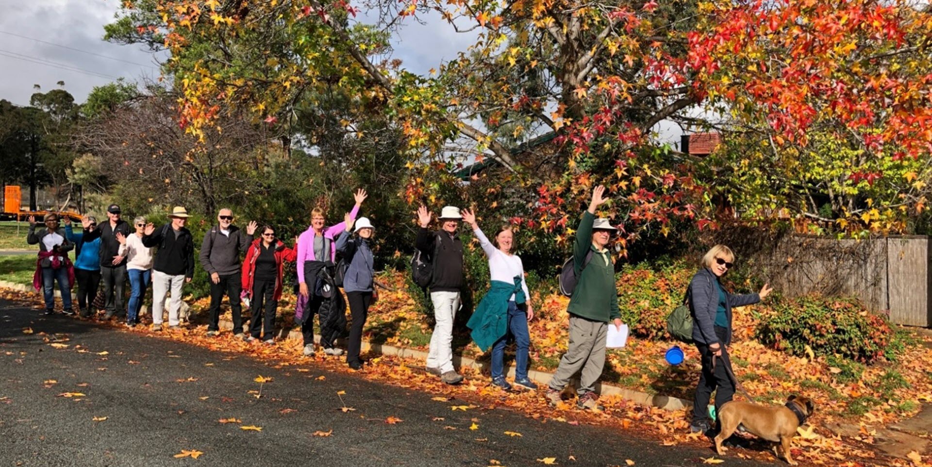
Walk Features: This loop walk takes you from the Child Care Centre through parkland and streets, on some of the Centenary Trail and dirt tracks.
Duration of the walk: About 1 hour and 30 minutes.
Region: Tuggeranong.
Information about the Suburb: Macarthur was established in 1983 and named after John Macarthur, one of the founders of Australia’s Merino wool industry. Its streets have a wool industry theme.
Walk Directions
Click here for a pdf version of the walk directions.
To get to the start of the walk proceed south down Drakeford Dr turn L into Isabella Dr, L into Coyne St and R into Carson St, L car park in front of the Child Care Centre.
Note that streets in brackets means there is no street sign at this point of the walk.
- Proceed down the concrete path that runs alongside the Child Care Centre on your L.
- Go L on a concrete path behind the Child Care Centre.
- Take the L fork on a concrete path passing a playground on your R.
- When the (Coyne St) underpass comes into view go R on a concrete path over towards houses and onto (Bayly Pl).
- Go R onto Max Henry Cr.
- Pass Hardie Cl on your R.
- Cross over Jackie Howe Cr and proceed up a concrete path.
- Follow a concrete path and when the houses come into view ahead, go R down a dirt track through bushland and down to Jackie Howe Cr
- Go L onto Jackie Howe Cr.
- Pass Dennys Pl and Marston Pl on your R.
- Go L onto Goldsbrough Cl and follow it around to the L.
- Proceed out from the end of the close and through a gate to follow a dirt track around to your R with houses on your R.
- Follow the track which becomes a rough gravely bitumen fire trail.
- At the Canberra Centenary Trail sign cross over the road and continue straight ahead with a fence on your L.
- Pass a grid on your L.
- Veer L on a dirt track as it runs uphill with houses over to your R.
- Proceed through a grid down to (Ebsworth Cl).
- Go L then proceed out through a gate and continue straight ahead on a fire trail behind houses on your R.
- Pass (Starritt Pl) on your R and continue straight ahead.
- Proceed through a gate and down (Carson St).
- Pass Falkiner Pl on your L.
- Go R onto Jackie Howe Cr.
- Pass Kater Cl on your R and Hawkesworth Pl on your L.
- Go L down a concrete path through reserve beside houses on your R.
- Pass a seat then R on a concrete path into (Mules Pl).
- Go L onto Merriman Cr.
- Pass a playground to your L.
- Pass Haly Pl on your L, Macknight Pl on your R and Schinckel Pl on your L.
- Go L onto Jackie Howe Cr.
- Go L on a concrete path and follow the Centenary Trail signs all the way down through a reserve between houses.
- Pass a playground over to your L.
- When the (Coyne St) underpass comes into view and opposite (Bayly Pl) on your R, go L on a concrete path.
- Pass a playground and continue straight ahead through Macarthur Community Park.
- Pass a skate park on your R then take the R fork on a concrete path and follow it back to the Child Care Centre.

