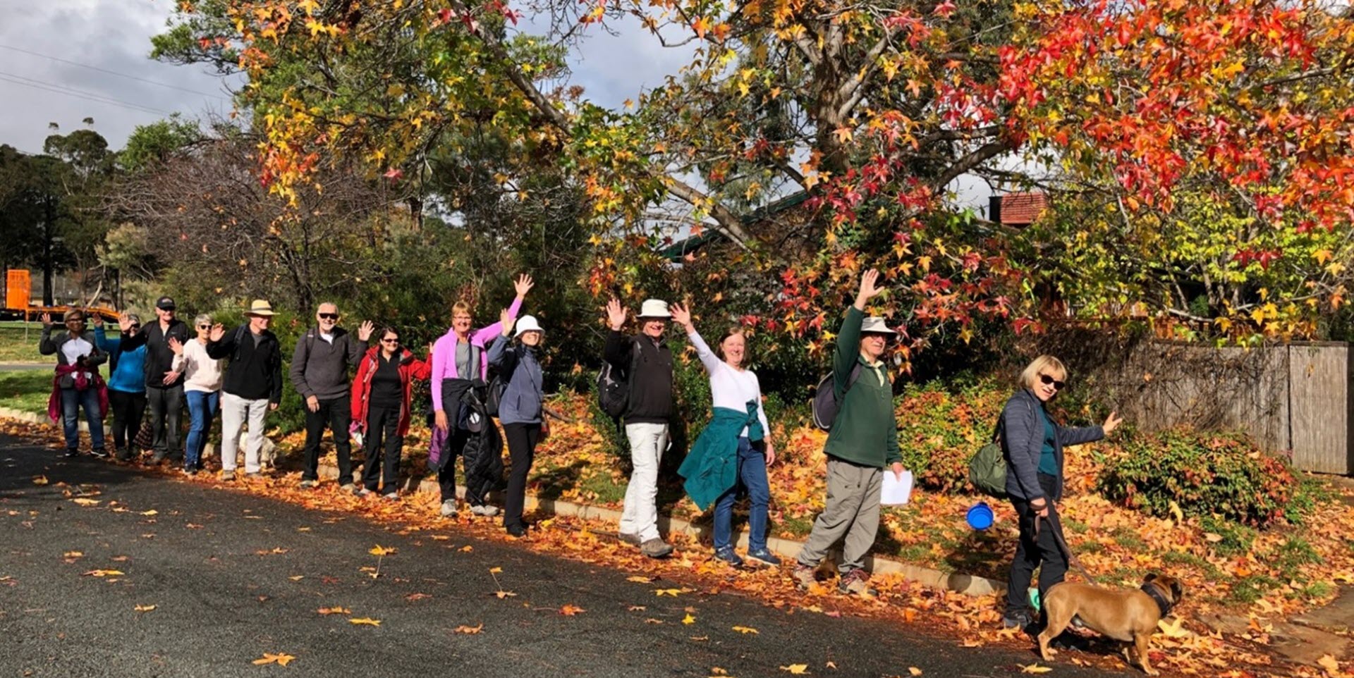
Walk Features: This loop walk takes you from the Shops through the streets and playgrounds and along a fire trail above the suburb,
Duration of the walk: About 1 hour and 40 minutes.
Region: Woden Valley.
Information about the Suburb: Lyons was established in 1965 and named after Joseph Lyons, Labor Premier of Tasmania from 1923 to 1928 and a Minister in the James Scullin government from 1929 until his resignation from the Labor Party in March 1931. He subsequently led the United Australia Party and was the tenth Prime Minister of Australia from January 1932 until his death in 1939. Its streets are named after locations in Tasmania.
Walk Directions
Click here for a pdf version of the walk directions.
To get to the start of the walk proceed south down Yamba Dr, turn R at the big roundabout into Melrose Dr, then R into Launceston St, R into Devonport St, then R into Lyons Pl and park in front of the shops.
Note that streets in brackets means there is no street sign at this point of the walk.
- From the L side of the phone box take a concrete path around to your R and through the (Launceston St) underpass.
- Follow a concrete path along behind houses on your R and a grassy area/ playing field on your L.
- IGNORE a concrete path veering to your L and continue straight ahead past Lyons Early Childhood School on your R.
- Cross over (Tooms Pl) and continue straight ahead uphill on a concrete path. IGNORE a concrete path to your R and pass by a seat.
- Follow a concrete path down to and through the (Burnie St) underpass.
- Continue straight ahead past the Anglican Church on your R.
- DO NOT go through the next underpass but take the path around to your R at a white/blue sign to Weston Creek and Tuggeranong.
- Proceed along (Chappell St) and continue straight ahead onto Swan Pl.
- Follow a concrete path out from the end of Swan Pl around to your R.
- IGNORE an underpass to your L and continue up onto a bitumen path and around to your R alongside (Hindmarsh Dr) on your L.
- Take the R fork on a bitumen path as it runs behind houses.
- Go R uphill on a concrete path between houses.
- Go R onto (Lutana St).
- Go R onto Burnie St.
- Go L up Beedham Pl.
- Proceed on a concrete path out from its end.
- Go L on a concrete path and proceed uphill.
- At the top, pass a playground on your R and then follow the path around to your R as it runs alongside (Launceston St).
- Go L onto Port Arthur St.
- Go L onto Quamby Pl.
- Proceed out from its end on a narrow dirt track until it meets a fire trail.
- Go R on a fire trail and follow it all the way along to the electricity substation.
- Follow the trail around to your R through the vehicle access gate.
- Proceed down a bitumen path.
- Go R onto (Derwent St).
- Pass Esk Pl and Huon Pl on your R.
- Go L onto Longford St.
- Go L into a reserve.
- Cross over the reserve passing a playground on your R.
- Go L onto (Devenport St).
- Pass Scottsdale St on your R.
- At the end of the houses go R on a dirt track.
- Proceed through a gate onto a fire trail.
- Follow the trail straight ahead uphill and along the ridge for quite some way.
- As you go downhill and come to a fork in the trail, go R and follow it down to and into (Yolla Pl).
- Go R onto Marrawah St.
- Go R onto Glenorchy St.
- Go R onto Deloraine St and follow it around past a reserve on your R.
- Just past number 48 go R on a concrete path.
- Go L on a concrete path back to the Shops.

