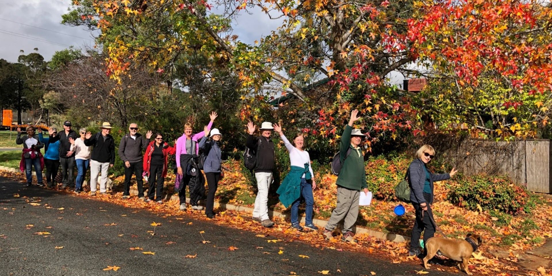
Walk Features: This loop walk takes you from the Shops to wetlands, along Sullivan’s Creek, past playgrounds and through parkland.
Duration of the walk: About 1 hour and 20 minutes.
Region: North Canberra.
Information about the Suburb: Lyneham was established in 1958 and named after Sir William Lyne, premier of the Australian state of New South Wales from 1899 to 1901. Its streets are named after artists and people associated with the development of early Canberra.
Walk Directions
Click here for a pdf version of the walk directions.
To get to the start of the walk proceed north along Northbourne Ave. Turn L into Macarthur Av, R into Wattle St up to Lyneham Shops. Park in the car park on Hall St next to the IGA.
Note that streets in brackets means there is no street sign at this point of the walk.
- From the car park, cross Hall St at the pedestrian crossing.
- Go R on a concrete path.
- Go L on a bitumen path.
- Cross over a bridge going over (Sullivan’s Creek) and continue straight ahead with a playing field then Lyneham High School on your L.
- Cross over (Goodwin St) and continue straight ahead on a bitumen path.
- Follow a bitumen path around to your R and across a bridge. Note a playground over to your L.
- Just over the bridge take a concrete path to your R and follow it by the wetlands on your R and around until it rejoins a bitumen path.
- Turn R and go over another bridge. Then again take a concrete path to your R and follow it again around until it rejoins a bitumen path.
- Go R on a bitumen path then R at (Wattle St) on a concrete path over a bridge.
- Cross over (Goodwin St) and take a bitumen path to your R.
- Follow the bitumen path for quite some way as it proceeds alongside Sullivan’s Creek on your R.
- Cross over Mouat St.
- Go L on a bitumen path with playing fields on your R.
- Pass (Brigalow St) on your L.
- Pass Archibald St on your L.
- Pass a bus shelter.
- Pass Ginninderra Dr at the lights on your L and continue straight ahead on a concrete path alongside (Ellenborough St) on your L.
- Pass Cossington Smith Cr at the lights on your L.
- Just after number 50, pass a bus shelter.
- Go L on Cossington Smith Cr.
- Go R on Von Guerard Cr.
- Pass Frater Cr on your R twice.
- Pass Claxton Cr on your R.
- Just after number 20 go L on a concrete path to proceed through a playground.
- Cross over Cossington Smith Cr and down Fristrom Cr.
- As it goes around to the R, veer L onto a concrete path.
- Proceed down this path for quite some alongside a grassy reserve/playing field on your L.
- At a t-junction go R on a concrete path around a playground on your L.
- Go R on a concrete path behind a bus shelter on your L and alongside (Cossington Smith Cr) on your L.
- Cross over (Cossington Smith Cr) and continue straight ahead on a concrete path that goes up and over (Ginninderra Dr) via a pedestrian bridge.
- Continue straight ahead on a concrete path with the Buddhist Centre on your R.
- Go L onto (Archibald St). At the El Alamein Village note the various war and related memorials.
- Go R onto Ashton St.
- Go R onto Longstaff St.
- Pass Gill St on your L.
- Go R onto Earle St.
- Go L onto Mackennal St.
- Pass a bus shelter with (Wattle Park) on your R.
- Go L onto Wattle St
- Go L onto Dyson St.
- Go R on Lewin St.
- Go R on Longstaff St.
- Go R on Brigalow St.
- Go L on Hall St and back to the Shops.

