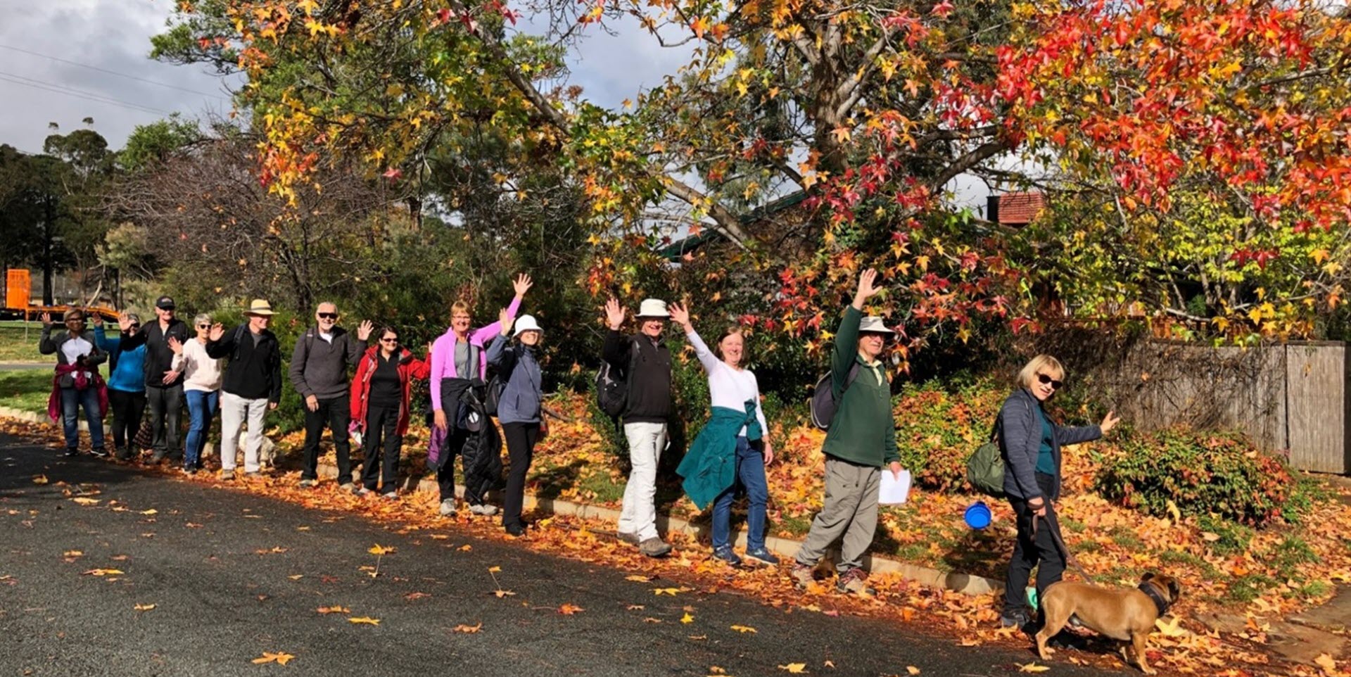
Walk Features: This loop walk takes you from a car park through the streets, playgrounds and parkland.
Duration of the walk: About 1 hour and 35 minutes.
Region: Tuggeranong.
Information about the Suburb: Kambah was established in 1974 and named after Kambah Homestead which was originally located in the Tuggeranong district and demolished in 1981. The origin of the name Kambah is unclear. Streets are named after interstate pioneers except for the Gleneagles estate where they are named after Australian golfers and golf courses.
Walk Directions
Click here for a pdf version of the walk directions.
To get to the start of the walk proceed south down the Tuggeranong Parkway and Drakeford Drive. Cross over Sulwood Dr, pass the large yellow street sculpture, go under the yellow bridge and go R into O’Halloran Cct, then L at the second entrance into Jenke Cct and park in the first car park on your R.
Note that streets in brackets means there is no street sign at this point of the walk.
- Proceed down to a reserve from the car park.
- Go R on a bitumen path to proceed through the O’Halloran Cct underpass.
- Follow the bitumen path along until you come to playgrounds (Play Space) on your L and a concrete path to your R.
- Go L on the bitumen path through Play Space.
- Continue out of the Kambah District Park on a bitumen path to its end then continue straight ahead on a concrete path.
- Go R on the first concrete path down to a cul de sac.
- Go R onto (Springbett St).
- Go L onto Gleeson Pl and out from its end onto a concrete path.
- Proceed through the (O’Halloran Cct) underpass and continue straight ahead for quite a way between houses.
- Pass a playground on your R.
- Proceed through (Mcleod Pl) passing a street on your R.
- Proceed out from its end on a concrete path.
- Pass a playground on your L and continue straight ahead all the way uphill between houses.
- Cross over (Learmonth Dr) and continue straight ahead on a concrete path.
- Go L onto (Rudder Pl).
- Go R onto Meredith Cct.
- Pass Rounsevell St on your R.
- Go R into a reserve.
- Pass a playground on your L.
- Go R onto (Rounsevell St).
- Go L onto Meredith Cct.
- Pass Rudder Pl on your L.
- Go R onto Learmonth Dr.
- Just past number 120 go L on a concrete path.
- Go R onto (Maidment Pl).
- Go L onto McKillop Cct.
- Pass Braund Pl on your L.
- Go R on a concrete path and continue for quite a while.
- Pass a playground on your L.
- Proceed through the (O’Halloran Cct) underpass.
- At the end of the houses and the beginning of a bitumen path, go R on a concrete path.
- Go R onto Snodgrass Cr. Note Urambi Hills ahead.
- Pass Tolmer Pl, Axford Pl and Seymour Pl on your R.
- Go R onto O’Halloran Cct.
- Go immediately L on a concrete path at a bus shelter.
- Pass a playground on your R.
- Go L on a concrete path and down (Lomman Pl).
- Go L onto (Ragless Cct). Note Mt Taylor ahead in the distance,
- Pass Toole Pl on your L.
- Pass Uren Pl and Lloyd Pl on your R.
- Go R onto Dale Cct.
- At number 5 go L across the reserve to pass a playground on your R.
- Go L onto (Dale Cct).
- Go R onto Ragless Cct.
- Cross over Vansittart Cct and continue straight ahead on a concrete path through a reserve.
- Cross over (Pinkerton Cct) and over to a playground on a concrete path.
- Pass the playground on your L.
- Go L onto (Pinkerton Cct).
- Go R on a concrete path.
- Go R on a concrete path.
- Take the L fork across a reserve.
- Go L on a bitumen path with parkland on your L.
- Proceed back to the car park on your R.

