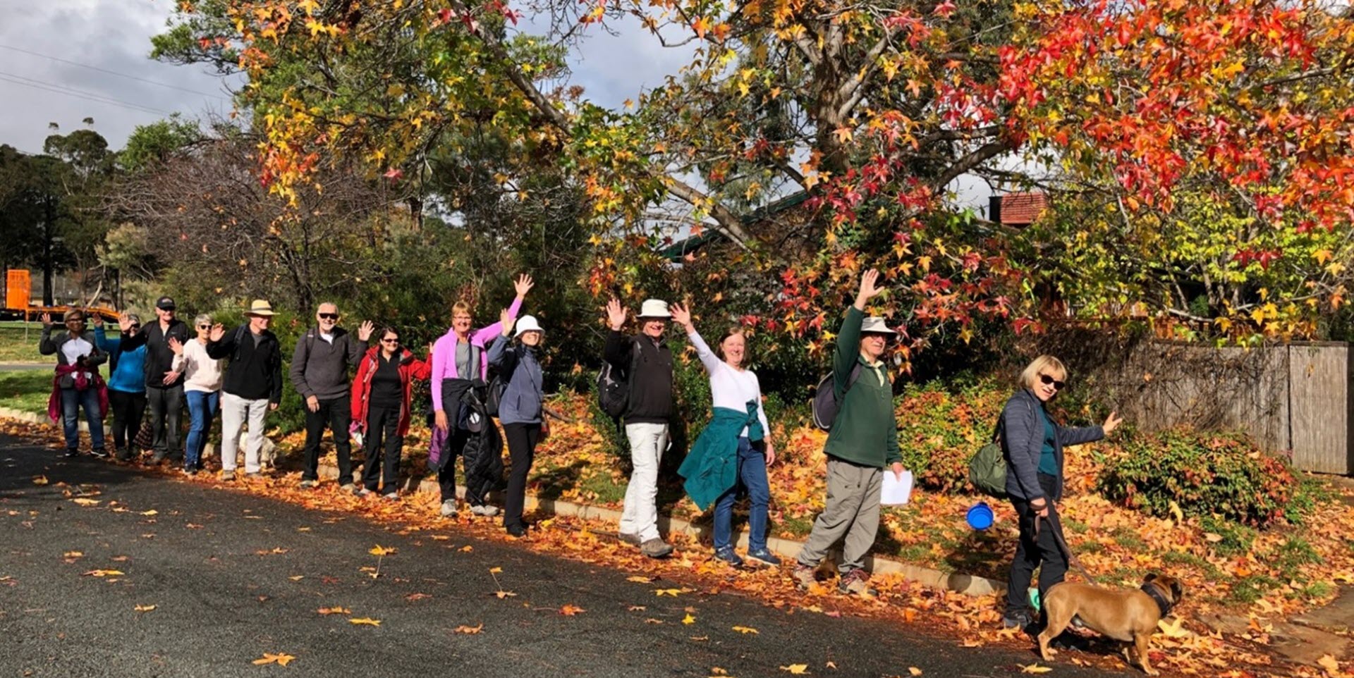
Walk Features: This loop walk takes you from the Shops through the streets, around the pond and through the playgrounds and reserves.
Duration of the walk: About 1 hour and 35 minutes.
Region: Tuggeranong.
Information about the Suburb: Isabella Plains was established in 1985 and named indirectly named after Isabella Maria Brisbane (1821–1849), who was the daughter of Sir Thomas Brisbane, the colonial Governor of New South Wales when the area was first explored by white settlers in 1823.[2]. Its streets are named New South Wales parishes.
Walk Directions
Click here for a pdf version of the walk directions.
To get to the start of the walk proceed south down the Tuggeranong Parkway and Drakeford Dr. L Ellerston Av, R Galloway St, L into the Shops.
Note that streets in brackets means there is no street sign at this point of the walk.
- From the Post Box proceed down a concrete path past a school on your L.
- Go L on a concrete path through the (Ellerston Av) underpass.
- Take the R fork on a concrete path.
- Go R onto (Cromwell Cct).
- Go R onto Jondol Pl.
- Go L on a concrete path and proceed over to a pond.
- Go R on a bitumen path.
- Proceed 0nto the grass all the way around the pond on your L. There is no path here.
- When you come all the way around to the storm water drain, go R to pass a fenced off area on your L.
- Proceed across a dirt road and continue straight ahead along the top of a grassy ridge with the storm water drain down to your L.
- Continue straight ahead and at the Drakeford Dr underpass cross over the storm water drain and go L on a concrete path alongside a stone wall.
- Take the R fork on a concrete path.
- Go R on a bitumen path.
- Proceed through the Noorooma St underpass and continue straight ahead with houses on your L.
- Cross over (Keverstone Cct) and continue straight ahead on a bitumen path.
- Pass a playground on your R.
- Go L on a concrete path between houses.
- Go L onto (Marengo Pl).
- Go R onto Marengo Pl.
- Go L onto Ellerston Av.
- Go R onto Galloway St.
- Pass Saltash Pl on your L.
- Pass Rushbrook Cct on your R.
- Go R onto Bandulla St.
- Go R on a concrete path.
- Pass a playground on your R.
- Go L ontp (Moonbi Cr).
- Go R onto Groveland Cr.
- Pass Moonbi Cr, Wolfingham Pl, Hadleigh Cct and Bucknel Cct on your R.
- Go L onto Ellerston Av.
- Go R onto Abercorn Cr.
- Pass Balala Pl on your L.
- Pass Candelo Pl on your R.
- Go R onto Werriwa Cr.
- Pass Nugal Pl on your R.
- Pass Oakwood Pl and Findon Pl on your L.
- Go R onto Kerkeri Cl.
- Veer L onto (Kerkeri Cl).
- Proceed out on a concrete path.
- Go L on a concrete path and down through parkland.
- Cross over (Werriwa Cr) and continue straight ahead on a concrete path.
- Pass a playground on your R.
- Take the R fork on a concrete path.
- Go R onto (Abercorn Cr).
- Pass (Muir Cl) on your L.
- Pass Werriwa Cr on your R.
- Go L onto Ellerston Cr.
- Pass Collyburl Cr on your R.
- Go R onto Groveland Cr.
- Pass Trickett Pl on your L.
- Go R onto Bandulla St.
- Pass Sassafras Pl on your L.
- Go R on a concrete path.
- Proceed alongside (Mollee Cr) and (Arakoon Cr) on your L.
- Go L on a concrete path at a seat before an underpass.
- Proceed past a school on your R back to the Shops.

