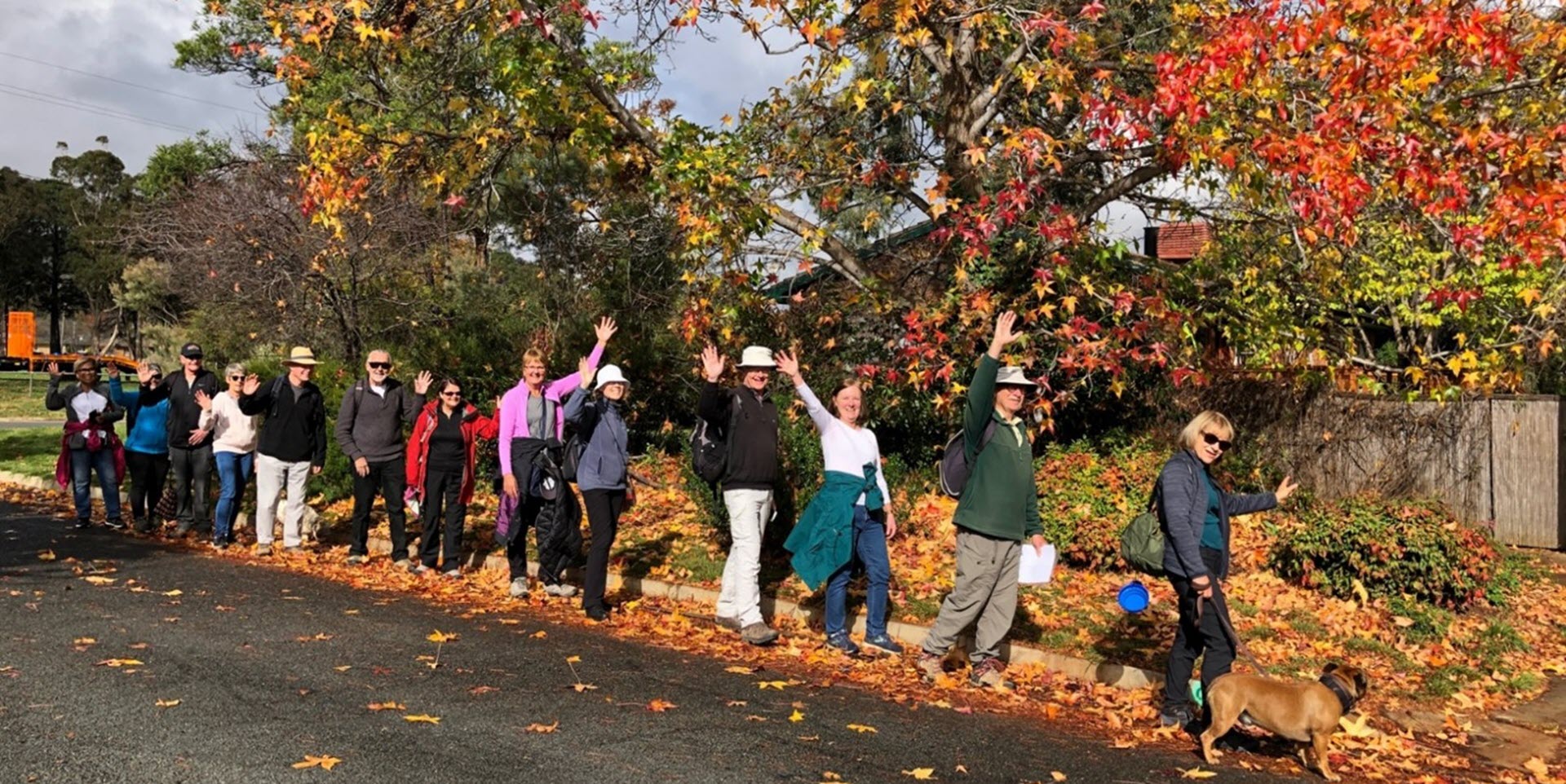
Walk Features: This loop walk takes you from the Shops through the streets, playgrounds and reserves. Some of the walk is on dirt tracks.
Duration of the walk: About 1 hour and 35 minutes.
Region: Belconnen.
Information about the Suburb: Hawker was established in 1972 and named after Charles Hawker (1894–1938), Member of the House of Representatives from 1929–1938 and Federal minister in 1932. Its streets are named according to the theme of Northern Territory pastoral stations.
Walk Directions
Click here for a pdf version of the walk directions.
To get to the start of the walk proceed north along Coulter Dr. Turn L into Springvale Dr and follow it around then L into Hawker Pl then R into Hawker Pl and park in front of the shops.
Note that streets in brackets means there is no street sign at this point of the walk.
- Go out to Hawker Pl and turn L.
- Go R into Springvale Dr.
- Go R onto Coniston St.
- Go L into Limbunya St.
- Go R onto Bonrook St.
- Go L on a concrete path.
- Cross over (Murranji St) and continue straight ahead on a concrete path as it winds uphill. IGNORE any paths to your L and R.
- Go R onto Woolner Cct.
- Go L into Erldunda Cct passing a bus stop and seat.
- Pass Woolner Cct on your L into a park. Proceed around the park clockwise.
- Go R on a concrete path as it proceeds through the park passing a playground on your L.
- Just past the playground go L on a dirt track out of the park to (Ambalindum St).
- Proceed uphill on (Ambalindum St).
- Go L into Marrakai St.
- After number 36 go L on a concrete path between houses.
- Proceed out on a dirt track and then go R on a fire trail.
- Follow the fire trail for quite some way until you come to a storm water drain ‘guarded’ by a metal fence and a large rock.
- Go R on a concrete path between houses.
- Go L onto (Marrakai St).
- Go L into Ambalindum St.
- Just after number 49 and before Goodparla St go L up a concrete path.
- Go R at the end of the path and follow a dirt track behind houses on your R.
- Go R onto (Dungowan St). Note a beer keg letterbox.
- Go L onto Mataranka St.
- Go L into Elsey St.
- After number 30 go L on a concrete path between houses.
- Go R on a dirt track behind houses on your R.
- At a horse trail sign intersection go R down a concrete path between houses.
- Go R into (Mainoru Pl).
- Go L down (Mainoru Pl).
- Go R on a concrete path into a park.
- Pass a playground on your R.
- Go R at a junction taking the path out to (Mataranka St).
- Go L onto (Mataranka St).
- Go R into (Erldunda Cct).
- Pass Tobermorey Pl on your L, a bus stop and seat, and Anningie Pl also on your L.
- Pass Dungowan St on your R.
- At Hawker Primary School go L down a concrete path and follow it all the way down passing a playground on your L.
- Proceed through the (Murranji St) underpass.
- Follow a concrete path as it continues past playing fields on your R.
- Cross over (Delamere St) and continue straight ahead.
- Go R onto (Belconnen Way) and proceed behind (Hawker Enclosed Oval).
- Go R on a concrete path through Urban Open Space behind houses on your L.
- Cross over (Walhallow St) and continue straight ahead with a playing field on your R.
- When a concrete path goes R at the end of the playing field, continue straight ahead on a dirt track to pick up a concrete path.
- Go L on a concrete path and follow it along and then around to your L.
- Go R onto (Walhallow St).
- Go L onto Beetaloo St.
- Pass Coniston St on your R.
- Go R onto Hawker Pl.
- Follow it all the way along then turn L into Hawker Pl and back to the Shops.

