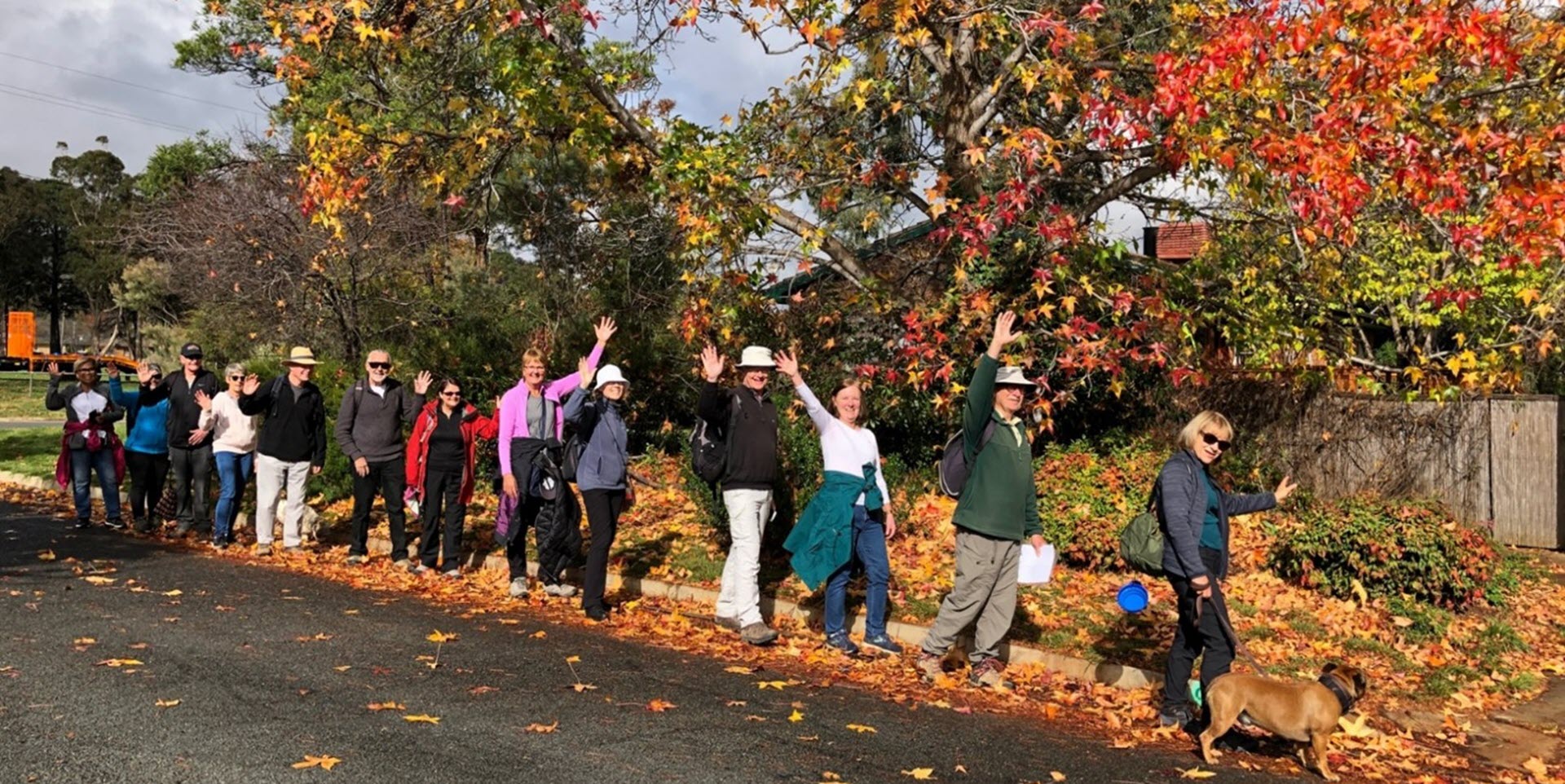
Walk Features: This loop walk takes you from the Shops through the streets and playgrounds, and around Gungahlin Valley Ponds and alongside Yerrabi Pond.
Duration of the walk: About 1 hour and 25 minutes.
Region: Gungahlin.
Information about the Suburb: Gungahlin was established in 1998 and named after an Aboriginal word meaning either “white man’s house” or “little rocky hill”.
Walk Directions
Click here for a pdf version of the walk directions.
To get to the start of the walk proceed north along Gungahlin Dr. Turn R into The Valley Av, L at Gozzard St, R Ernest Cavanagh St, L into Boon Ln then L between buildings into a car park.
Note that streets in brackets means there is no street sign at this point of the walk.
- Facing the laneway you drove in on, go R across the car park out to Ernest Cavanagh St.
- Go R on Ernest Cavanagh St.
- Go L on Gozzard St.
- Cross over (Hibberson St).
- Pass a park on your R.
- Opposite Efkarpidis St go R through bollards on a bitumen path with a car park on your L.
- Pass the Gungahlin Leisure Centre on your L and a pond, playing field and basketball courts on your R.
- Cross over (Warwick St) and continue straight ahead on a concrete path past car parks on your L and a playing field on your R.
- At a very high light tower go L on a concrete path across a car park.
- Proceed out on a concrete path between ponds.
- Continue straight ahead on a concrete path.
- Veer R on a bitumen path.
- At a bus stop go R on a cobbled track then take the L fork.
- Proceed alongside the wetlands on your R.
- Go R on a bitumen path and cross a bridge.
- At a sign go R on cobbled track and continue around the wetlands on your R.
- Veer L on a dirt track.
- Proceed past a gate down (O’Brien Pl).
- Go L on Crinigan Cir.
- Go L on Ginn St.
- Go R on Gundaroo Dr.
- Pass Anthony Rolfe Av on your R at the lights.
- Go L at the lights to cross Gundaroo Dr then proceed on a concrete path downhill alongside (MirrabeI Dr) on your L.
- Go R on bitumen path where there is a low stone building on your R.
- Go L on a bitumen path as it continues down towards (Yerrabi Pond).
- Follow the bitumen path as it passes playgrounds, a picnic area and later a fitness station on your R and the pond on your L.
- At the Sorpptomist Pt sign go R on the brick paved path passing seats and a picnic area on your R.
- Pass a bridge on your L with Evadel St then (Kettle St) on your L.
- Go R on a bitumen path through a red gate up to (Strayleaf Cr).
- Go L on (Strayleaf St) on your L.
- Pass Hollingsworth St.
- Pass Kettle St on your R.
- Go L on Bembrick St.
- Just past number 16 go L on a concrete path between houses.
- Cross over (Inglewood St).
- Cross over (Hollingsworth St).
- Go R then L on a concrete path to pass a playground on your R.
- Proceed out on a concrete path down Tea Gardens.
- Proceed out from its end on a concrete path through the Gundaroo Dr underpass.
- Proceed around to your L on a bitumen path past a pond on your R.
- Cross over Tesselaar St and proceed through a reserve.
- Cross over Cantamessa Av and proceed up Sarre St.
- Pass Marie Dalley St on your R.
- Cross over Tesselaar St.
- Pass Pallin St on your R.
- Pass a reserve on your R.
- Cross over Mawby St.
- Pass Fishlock Ln and Devlin St on your R.
- Cross over Donnelly Ln.
- Go R on Gungahlin Pl with a reserve on your L.
- Go L on Swain St to pass a reserve on your L.
- Cross over Gungahlin Pl.
- Cross over Boreham Ln.
- Pass Braggett St on your L.
- Go L on a bitumen Path and follow it through the park.
- Go R on Bruning St.
- Pass Eckley St on your R.
- Pass Carver Ln on your R.
- Go L on Gozzard St.
- Pass Causley Ln on your L.
- Cross over Anthony Rolfe Av.
- Veer L towards the car park and back to the end.

