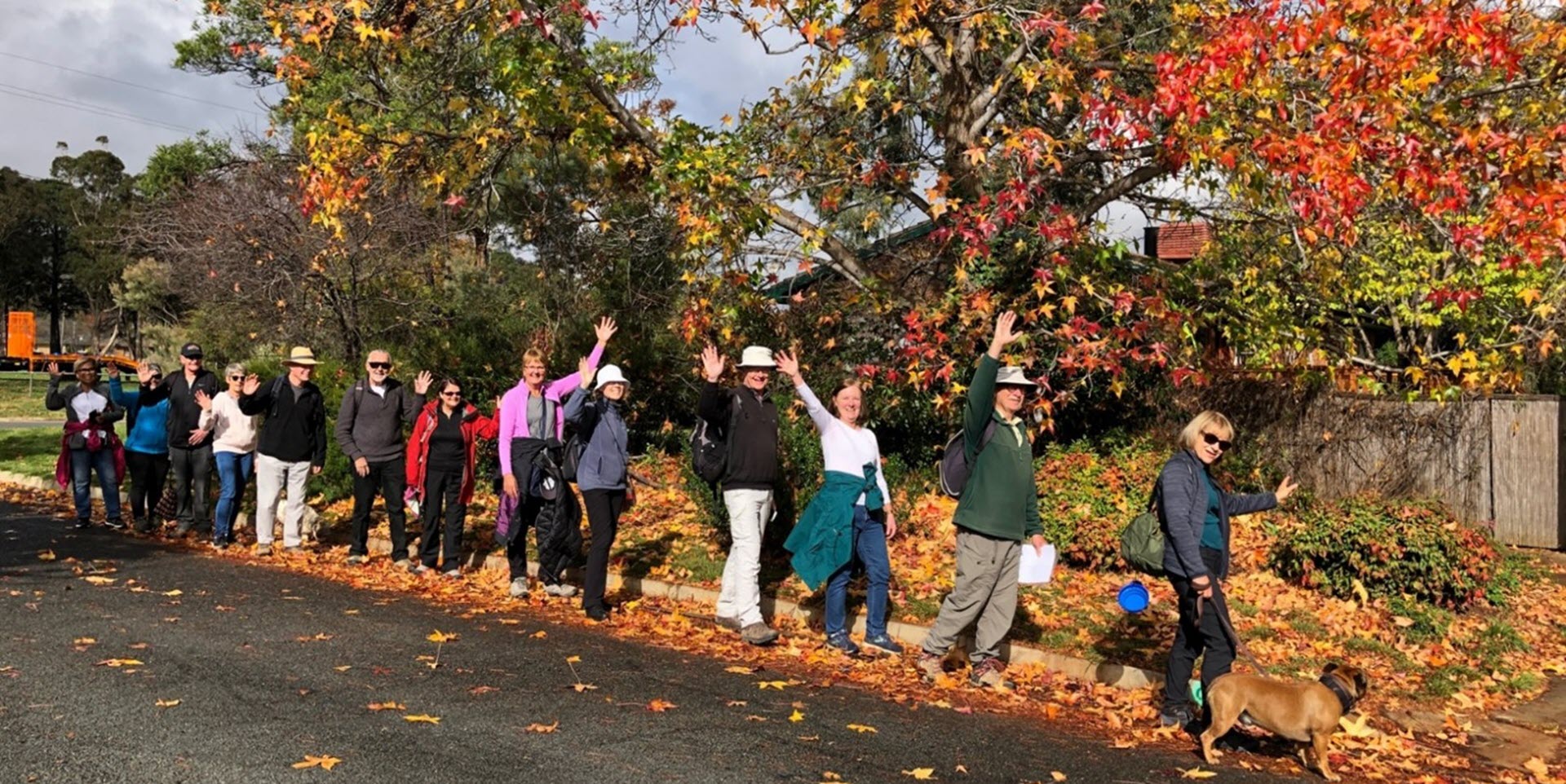
Walk Features: This loop walk takes you from the Shops through the streets, playgrounds and parkland.
Duration of the walk: About 1 hour and 35 minutes.
Region: Tuggeranong.
Information about the Suburb: Gowrie was established in 1981. It is the former site of the Athlon Homestead. It was named after Brigadier-General Alexander Gore Arkwright Hore-Ruthven, 1st Earl of Gowrie (1872–1955), Governor-General of Australia from 1936–1944. Its streets are named after members of the Australian Defence Force who won decorations, including the Victoria Cross.
<iframe src=”https://www.google.com/maps/d/embed?mid=1Wmza44jq-vYRgWBaMKUw-W8425ZfkKjF” width=”640″ height=”480″></iframe>
Walk Features: This loop walk takes you from the Shops through the streets, playgrounds and parkland.
Duration of the walk: About 1 hour and 35 minutes.
Region: Tuggeranong.
Information about the Suburb: Gowrie was established in 1981. It is the former site of the Athlon Homestead. It was named after Brigadier-General Alexander Gore Arkwright Hore-Ruthven, 1st Earl of Gowrie (1872–1955), Governor-General of Australia from 1936–1944. Its streets are named after members of the Australian Defence Force who won decorations, including the Victoria Cross.
Walk Directions
Click here for a pdf version of the walk directions.
To get to the start of the walk proceed south down Ashley Drive turn L into Bugden Ave, L into Castleton Cr, and then R into Jeffries St and park at the Shops.
Note that streets in brackets means there is no street sign at this point of the walk.
- Facing away from the Shops proceed L onto (Jeffries St) and follow it around.
- Pass a playground over to your R.
- Go R onto (Castleton Cr).
- Go L into McGlinn Pl.
- Proceed out from its end on a concrete path.
- Go L on a concrete path.
- Take the R fork to pass a playground on your L.
- Pass (Howell Pl) on your R.
- Proceed straight ahead down (Brill Pl).
- Go L onto Currey St.
- Go R onto Bugden Av.
- Go L onto Herington St and pass Corey Pl and Neville Pl on your L.
- Go L onto Bugden Av.
- Go R onto Mullins Pl.
- Proceed out from its end on a concrete path.
- Go R on a concrete path and proceed all the way between houses.
- Pass a playground on your L.
- Go R on a concrete path.
- Proceed through the Bugden Av underpass.
- Go L on a bitumen path and proceed quite a way with a storm water drain on your R.
- Before the Kellett St underpass go L on a concrete path.
- Proceed through the Bugden Av underpass.
- Just after crossing a concrete path, veer R up a grassy bank to overlook wetlands.
- Go L along the grassy bank with the wetlands on your R.
- At the end of the bank go L back down to the concrete path.
- Go R on the concrete path with a playing field on your L.
- Go L on a concrete path.
- Pass a Scout Hall on your L and proceed to an information board about the Athlon Homestead.
- Proceed up (Finlay Pl) and cross (Castleton Cr).
- Go R on (Castleton Cr).
- Pass Mackey Pl on your L.
- At the underpass go L on a concrete path.
- Pass (Holy Family Parish Primary School) and then a playing field on your R.
- Pass a playground on your L.
- Take the L fork on a concrete path.
- Go L onto (Weathers St) to pass a playground on your L.
- Go R onto Badcoe St.
- Pass Weathers St on your R.
- Go L onto Partridge St.
- Go R onto Castleton Cr and pass Verney Pl on your R, a bus stop/shelter and Peeler Pl on your R.
- Go L into Wray Pl and proceed all the way around it with a playground up to your L.
- Proceed back to (Castleton Cr) and go L.
- Go R into Towner Pl and proceed out from its end on a concrete path.
- Go L on a bitumen path.
- Proceed around to your L and downhill.
- Proceed through the (Sternberg Cr) underpass and continue straight ahead.
- Cross over a junction of concrete paths and continue straight ahead gently uphill.
- Cross over (Middleton Cct and pass a playground on your R.
- Go L onto Middleton Cct and proceed uphill.
- Go R onto Castleton Cr.
- Go L onto Wheatley St and pass Ruthven St on your R.
- Go L into Burnage Pl and proceed out from its end.
- Go R on a concrete path to continue all the way downhill.
- Pass a playground on your L.
- Pass (Gowrie Primary School) on your L.
- Go L on a concrete path back to the Shops.

