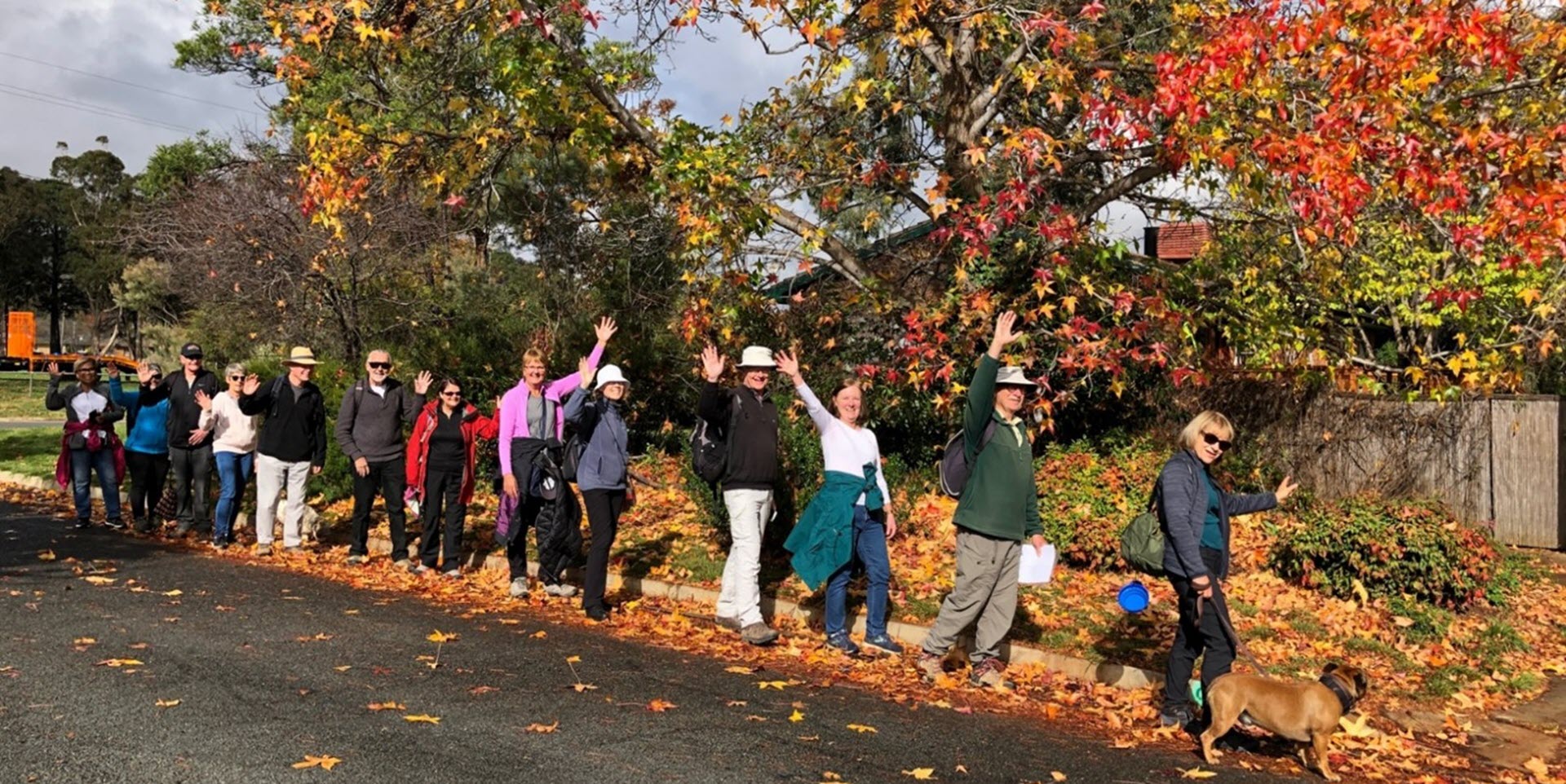
Walk Features: This loop walk takes you from the Shops through the streets, reserves and playgrounds.
Duration of the walk: About 1 hour and 30 minutes.
Region: Tuggeranong.
Information about the Suburb: Gilmore was established in 1985 and named after the poet and journalist, Dame Mary Gilmore. Its streets are named after journalists, particularly female journalists.
Walk Directions
Click here for a pdf version of the walk directions.
To get to the start of the walk proceed south down Drakeford Dr turn L into Isabella Dr, R into Hambidge Cr, L into Heagney Cr, pass the Gilmore Primary School on your R, go R onto Emily Bulcock Cr and just after number 28 park near the school fence.
Note that streets in brackets means there is no street sign at this point of the walk.
- Facing the school fence go L on a concrete path alongside (Emily Bulcock Cr) on your L.
- Veer R on a concrete path with the school on your R.
- Go R on a concrete path at the end of the school fence.
- Opposite the school gate on your R, go L on a concrete path into (Revill Pl).
- Go L onto (Luffman Cr).
- Go L onto Alice Jackson Cr.
- Go L onto Vesta Pl.
- Take the L side on a concrete path out from the end of Vesta Pl.
- Follow a concrete path all the way alongside a water course.
- When you come close to a road, go L down (Roxon Pl).
- Go R onto (Emily Bulcock Cr).
- Go L onto Heagney Cr.
- Pass Henry Melville Cr on your R.
- Pass Emily Bulcock Cr on your L.
- Pass a bus stop and seat.
- Pass Henry Melville Cr on your R.
- Pass Gilmore Primary School on your L.
- Just before a bus shelter, cross the road then take the R fork down a concrete path to the (Heagney Cr) underpass.
- Go R on a concrete path leaving the underpass behind.
- Proceed all the way to the end passing a playground on your R.
- After you pass the end of the houses on your L, you will come to a t-junction with another concrete path. Ahead the (Monaro Highway) underpass comes fully into view.
- At the junction go L on a narrow dirt track.
- When a playground comes into view ahead and to your L, go L downhill beside houses on your L and the playground over to your R.
- Go R on (Rosman Cct).
- Pass Cleary Pl on your R.
- Go R on (Rosman Cct).
- Go R on Rischbieth Cr.
- Just past number 62 go L on a concrete path.
- Proceed R up (Budd Pl).
- Go L on Rischbieth Cr.
- Go L on Louisa Lawson Cr.
- Opposite Hadow Pl go R on a concrete path.
- Follow the path around to the R passing a seat on your L as you do so.
- Go R on (May Maxwell Cr).
- At number 45 go L uphill on a concrete path.
- Pass (Finlayson Pl) on your R.
- Go L on Louisa Lawson Cr.
- Go L on Aronson Cr.
- Pass Ash Pl on your L.
- Pass Edmond Cl on your L.
- Go L onto Louisa Lawson Cr.
- Cross over Heagney Cr and onto a concrete path and then go L on a bitumen path.
- Pass a bus stop and seat and continue straight ahead on a bitumen path alongside (Heagney Cr).
- Continue on the bitumen path for quite some way beside (Heagney Cr) on your L.
- Pass (Louisa Lawson Cr) on your L.
- Pass a playground on your R.
- Pass the (Heagney Cr) underpass on your L.
- Pass the school car park on your R.
- At the end of the school fence go R on a concrete path and back to (Emily Bulcock Cr).

