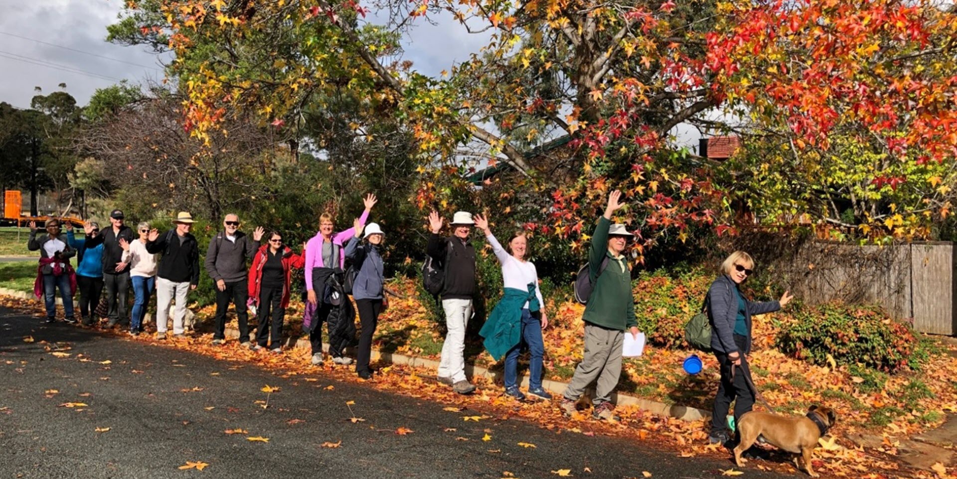
Walk Features: This loop walk takes you from the Shops through the streets, playgrounds and parkland. The walk passes Mt Rogers.
Duration of the walk: About 1 hour and 40 minutes.
Region: Belconnen.
Information about the Suburb: Fraser was established in 1975 and named after after James Reay Fraser, who was Member of the Australian House of Representatives for the Division of Australian Capital Territory from 1951 to 1970 and Vice Chairman of the Joint Committee of the Australian Capital Territory from 1959 to 1970. Its streets are named after early residents of Canberra.
Walk Directions
Click here for a pdf version of the walk directions.
To get to the start of the walk proceed north along Kingsford Smith Dr. Turn L into Spalding St, Flynn/Melba. R into Tillyard Dr. R into Daley Cr and park in front of the shops on your R.
Note that streets in brackets means there is no street sign at this point of the walk.
- Proceed out to Daley Cr and go R.
- Pass Nott St on your L, Lind Cl on your R, two bus stops, Nott St on your L, Daley Cr, Bingley Cr and Wynn St twice all on your R.
- Go R at the next/second entrance to Bingley Cr.
- Go L onto Rochford St.
- At the end of a low wooden fence opposite number 12, go L on a concrete path and continue uphill behind houses on your R. Ignore paths to your R.
- Go L onto (Brophy St).
- Go L on a concrete path and continue as it goes around to your R and uphill behind houses on your R and a grassy reserve on your L.
- Pass alongside (Brophy St) and then around to your R on a concrete path.
- Proceed uphill crossing over (Moroney St) at the Spence suburb sign and continue straight ahead.
- Take the R fork on a concrete path to pass a playground on your L.
- Ignore the next fork to your R that goes down to a cul de sac.
- At the top of the rise take the next fork to your R and proceed down through a reserve.
- Pass (Woodger Pl) on your L.
- Take the L fork.
- Cross over Bingley Cr and continue down a concrete path.
- Take the R fork down to (Nish Pl) and proceed down the cul de sac.
- Go L onto Bingley Cr.
- Pass Brophy St and Strathnairn Pl on your R, Foskett St on your L, Crase Pl, two bus stops, Vercoe Pl and Moir Pl on your R.
- Cross over Foskett St and onto a concrete path and follow it towards a playground.
- At the playground take the L fork and follow it all the way uphill passing (Foskett Pl) on your L and (Wynn Pl) on your R.
- Go R onto Bingley Cr at a bus stop.
- Go L up Wickens Pl.
- Before going into the parking area, take a concrete path on your R and proceed behind houses on your R.
- Take the R fork and follow it all the way downhill through a reserve to (Tillyard Dr). Ignore all paths to your L and R.
- Go R onto (Tillyard Dr) at a bus shelter.
- Go L onto Kerrigan St to a Fraser suburb sign.
- Proceed along Kerrigan St passing Crowley Ct on your L, a bus shelter and Shakespeare Cr on your R.
- Go R on a concrete path just before McKid Ct.
- Take the R fork and continue straight ahead onto and up (Rogers St).
- Pass a grassy reserve on your R.
- Go R onto Shakespeare Cr and pass two bus stops.
- Go L on a concrete path near a playground passing it on your R.
- Follow the path past the Fraser Primary School fence on your L and Fraser Neighbourhood Oval on your R.
- Proceed through the (Tillyard Dr) underpass and take the fork to your L.
- Proceed up behind the Shops on your L.
- Go L at a junction and follow the path back to the Shops.

