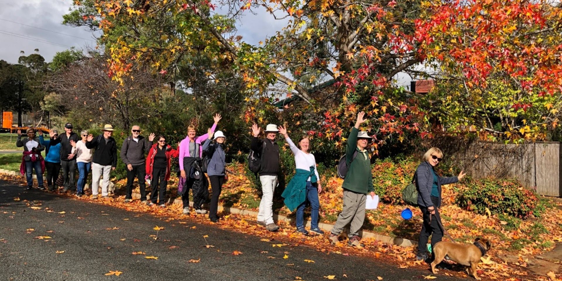
Walk Features: This loop walk takes you from the Shops through parkland including the Lyall Gillespie Corridor and alongside Mulligans Flat Nature Reserve. On the way you will visit Forest View Park and pass wetlands and playgrounds.
Duration of the walk: About 1 hour and 30 minutes.
Region: Gungahlin.
Information about the Suburb: Forde was established in 2008 and named after Frank Forde, who served as Prime Minister of Australia for a week in 1945 following the untimely death of John Curtin.
Walk Directions
Click here for a pdf version of the walk directions.
To get to the start of the walk proceed north along Gungahlin Dr. Turn R into Gundaroo Dr, Cross over Horse Park Dr into David Walsh Av, L into Zakharov Av, R into Lomax St, and park behind the Shops.
Note that streets in brackets means there is no street sign at this point of the walk.
- Proceed back up Lomax St.
- Go R onto Zakharov Av and at the lights cross Zakharov Av into a park.
- Go L on wide a concrete path and follow it through parkland past a playground and exercise stations.
- Take the R fork at some picnic tables as the path goes downhill.
- Go L on a bitumen path passing wetlands on your R.
- Proceed all the way along the Lyall Gillespie Corridor.
- Cross over Zakharov Av.
- Pass picnic tables on your R.
- Cross over (Zakharov Av) again with a bus shelter to your L.
- Proceed on a bitumen path through Lyall Gillespie Corridor
- Pass a playground and picnic tables over to your L and the entrance to Mulligans Flat on your R, and continue on a concrete path past houses to L.
- Proceed onto a dirt track at and passing Justice Kelly St on your L
- Continue alongside (Phyllis Frost St) on your L.
- Proceed onto a concrete path going uphill alongside Doris Turner St on your L.
- Pass Huddy St on your L and continue downhill.
- Proceed onto a dirt track and then take the R fork.
- Go R on a concrete path passing picnic tables on L and the entrance to Mulligan’s Flat Nature Reserve on your R.
- Continue along for quite a while alongside Mulligan’s Flat Nature Reserve on your R.
- On the way pass: three information posts: (Bushfire Management; This is the Old Gundaroo Roads; Early Settlers in North Canberra); then a seat on your L. Soon after, go L on a concrete path across Amy Ackerman St into (Forest View Park) which is next to Turbayne Cr.
- Return from the park to continue along the main concrete path passing a seat on your L and then further on, opposite Buchan Cr, a wooden stile and seat on your R.
- At the end of the houses, proceed onto a bitumen path and follow it around to your L alongside Retz Cr and then Blizzard Cct on your L.
- Pass Callus St on your L and an iron railing bridge on your R.
- Pass Spillett St on your L and continue on a bitumen path behind houses on your L.
- Pass a basketball practice court on your R.
- Pass wetlands on your R.
- Go R on a concrete path passing a seat on your L.
- Go R on a bitumen path.
- Cross over Handbury Way and continue straight ahead with wetlands on your R.
- Pass a playground and picnic tables on your L.
- Pass Winch Lane on your L and a bridge on your R.
- Proceed through the (Jessie St) underpass.
- At an open grassy area running between streets on your L, go L on a concrete path.
- Follow the path alongside (Helen Leonard Cr).
- Pass Oke St on your L.
- Cross over Amy Ackman St into a park.
- Go R on a concrete path.
- Cross over (Bolte St) as the path goes past Burgmann Anglican School on your L.
- Go L onto Francis Forde Blvd.
- At Hurrell St go R through the Shops back to the car park.

