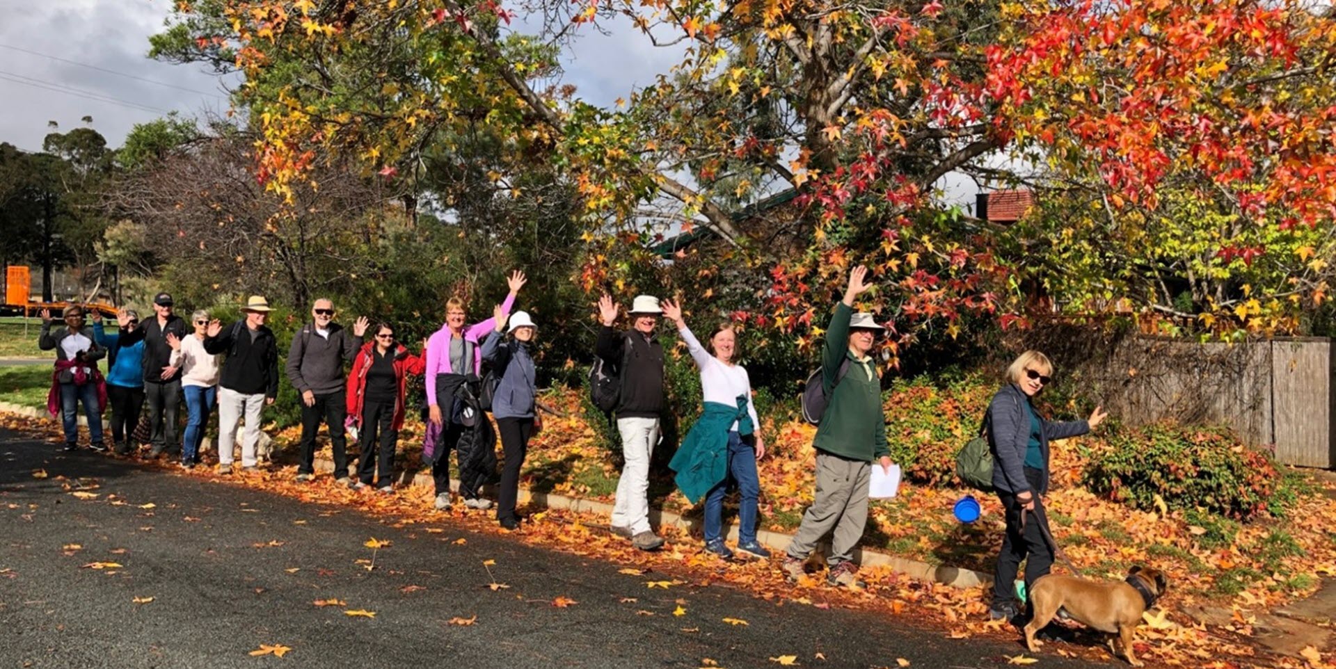
Walk Features: This loop walk takes you from a car park (Flynn has no Shops) through streets, parkland and playgrounds including George Simpson Park.
Duration of the walk: About 1 hour and 30 minutes.
Region: Belconnen.
Information about the Suburb: Flynn was gazetted in 1971 and named after John Flynn, who was a Presbyterian Minister and Missionary who was mainly responsible for the formation of the Australian Inland Mission Aerial Medical service in 1928. Flynn was the forerunner of the Flying Doctor Service in Australia. Its streets are named after workers in the flying doctor service.
Walk Directions
Click here for a pdf version of the walk directions.
To get to the start of the walk proceed north on Kingsford Smith Drive and cross over Ginninderra Drive. Go left onto Companion Cr and then right into Sanderson Close. Follow it around and enter the parking area for George Simpson Park on your right. Park at the far end of the car park.
Note that streets in brackets means there is no street sign at this point of the walk.
- Facing a concrete path leading out of the car park, go R across parkland to (Sanderson Cl).
- Go L on a concrete path as it runs alongside (Sanderson Cl) on your R.
- Proceed into parkland and continue straight ahead passing a playground over to your L.
- Pass (Plowman Pl) on your R and continue around to your L.
- Cross over (Companion Cr) and continue straight ahead on a concrete path alongside Vickers Cr on your R.
- Pass Murrell Pl on your R.
- Go R onto Ferguson Pl.
- Proceed out from its end on a concrete path passing number 12 on your R.
- Go R on a concrete path.
- Pass (Murrell Pl) twice on your R.
- Go L onto Companion Cr.
- Pass Vogelsang Pl on your L.
- Pass Plowman Pl on your R.
- Pass Sanderson Cl on your R.
- Pass Meikle John Pl on your L.
- At Sanderson Cl and just before a bridge, go L down a concrete path.
- Follow the path all the way downhill.
- At the junction with the iron railing bridge across a storm water drain and an underpass further ahead, go R on a concrete path uphill.
- Go R onto (Companion Cr).
- Go L onto Dobinson Pl with a bus shelter on your L.
- Proceed out from its end on a concrete path then go R uphill.
- Continue on to a playground on your L.
- Go R onto (Rolland Pl) and proceed out from its end on a concrete path.
- Go L on a concrete path.
- Go L onto Bingle St.
- Go R onto Joyner Cr.
- Pass Joyner Pl on your R.
- Go R onto Crawford Cr.
- Pass Harland Pl on your L.
- Pass Wyles Pl and Welch Pl on your R.
- Just past Welch Pl go L down a concrete path.
- Go R up a concrete path into (Strehlow Pl) and continue straight ahead.
- Go L onto Spalding St.
- Go R on a concrete path at Tillyard Dr.
- Go R at bus shelter and follow a concrete path all the way up through a reserve.
- Go R onto Barber Cr.
- Pass Oster Pl on your L.
- Pass Wilkinson St on your R.
- Go L onto Rechner Pl and continue straight ahead across parkland with a playground on your L.
- At a playground veer R over to and through a red gate into a cul de sac.
- Proceed down (Schwarz Pl) and around to your R.
- Just before Spalding St take a concrete path down to R through an underpass.
- Continue all the way down through parkland passing a playground on your R.
- Go through the (Bingle St) underpass and up to your R to follow the path alongside (Pither Cl) on your R and straight ahead.
- At a playing field go L on a concrete path towards a playground.
- Continue straight ahead past a playground on your R and a school on your L.
- Go R on a concrete path and proceed back to the car park.

