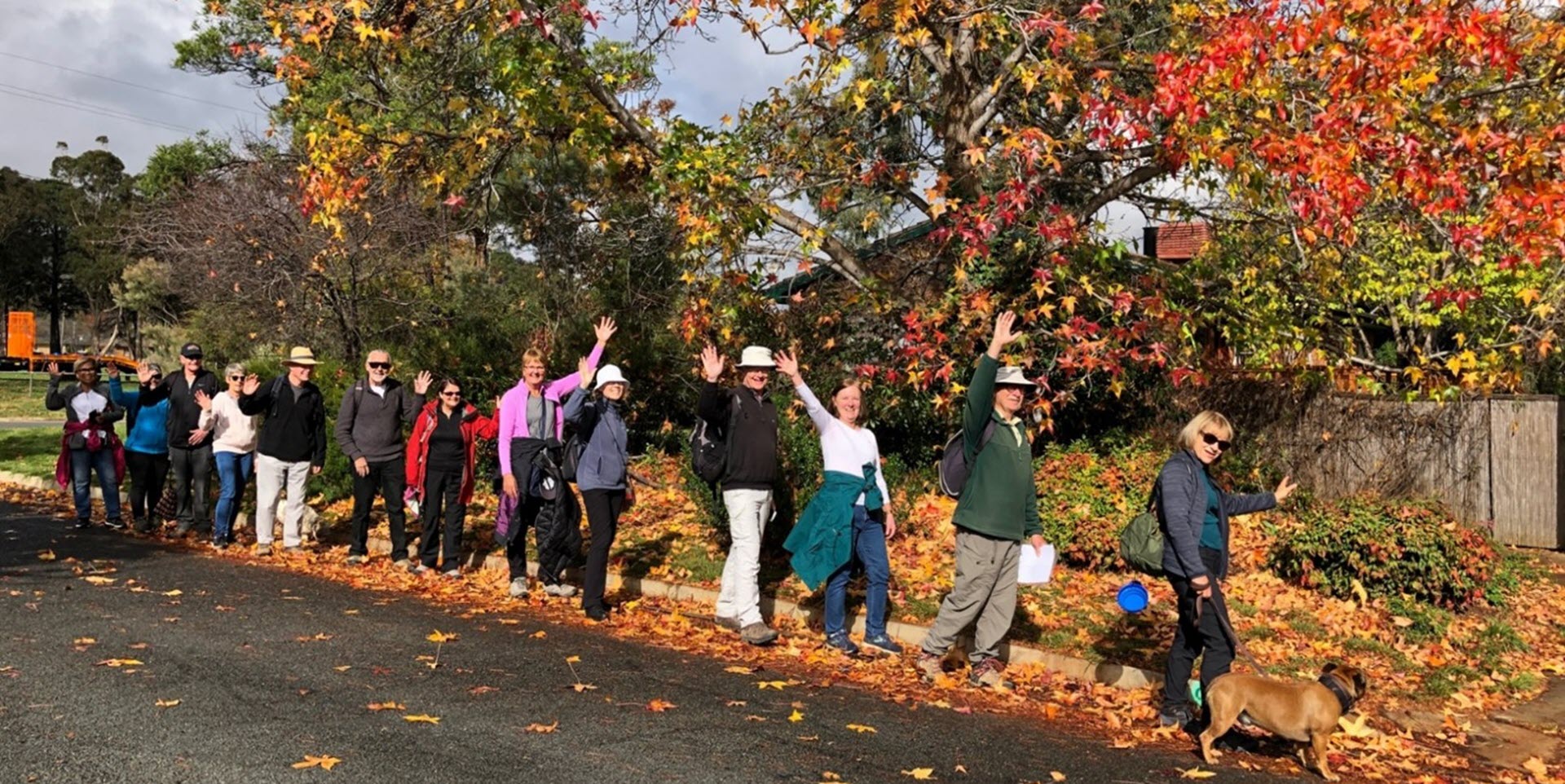
Walk Features: This loop walk takes you from the Shops through the streets, playgrounds and parkland. Some of the walk is on a dirt track.
Duration of the walk: About 1 hour and 40 minutes.
Region: Weston Creek.
Information about the Suburb: Duffy was established in 1971 and named in honour of Sir Charles Gavan Duffy, KCMG (1816–1903) the 8th Premier of Victoria. Its streets are named after dams and reservoirs.
Walk Directions
Click here for a pdf version of the walk directions.
To get to the start of the walk proceed west out along Hindmarsh Drive. Turn R into Dixon Dr, L into Burrinjuck Cr, R into Glenmaggie St and park at the Shops.
Note that streets in brackets means there is no street sign at this point of the walk.
- Facing away from the Shops go R on a concrete path past a playground on your L and a toilet block on your R.
- Proceed down to (Glenmaggie St) and go L.
- Pass the car park on your L and take the concrete path on your R.
- Proceed down the concrete path and then around to your L and through the (Burrinjuck Cr) underpass.
- Proceed uphill on a concrete path to (Jemalong St).
- Continue straight ahead up (Jemalong St).
- Go R on a concrete path through a reserve with houses on your L.
- Before (Eucumbene Dr) underpass go L on a concrete path and continue alongside (Eucumbene Dr) on your R.
- Go L onto Renmark St.
- Go R onto Tullaroop St.
- Go L onto Eungella St.
- Go R on a concrete path through a reserve to a playground.
- Take the L fork on a concrete path keeping a playground on your R.
- Go L onto (Mirrool St).
- At number 47 proceed on a concrete path between houses.
- Cross over (Wyangala St) and proceed up Burdekin St.
- After number 20 go R on a concrete path with a playground over to your R.
- Follow a concrete path down to and through the (Burrinjuck Cr) underpass.
- Continue straight ahead on a concrete path with houses on your R and (Tantangara St) on your L.
- At the end of houses go R on a concrete path passing Duffy Neighbourhood Oval on your L.
- Before the (Dixon Dr) underpass go L on a concrete path.
- Continue alongside (Dixon Dr) and past a bus shelter.
- Pass Blackwood Tce on your R.
- Pass a bus stop and seat and Burrinjuck Cr on your L.
- Pass Lines St on your R.
- Cross over Warragamba Av and continue straight ahead on a dirt track.
- Pass a bus stop and a seat on your R then veer around to your L.
- Take the foremost L of four tracks up a fire trail.
- Go L on a track down to a bus shelter on (Warragamba Av).
- Cross over (Warragamba Av) and continue straight ahead down a concrete path between houses to Serpentine St.
- Go R onto Serpentine St passing a playground to your L.
- Pass Rocklands St on your L.
- Go R on a concrete path then take the L fork behind houses on your L and a reserve on your R.
- Go L onto (Eppalock St).
- Go R onto Jindabyne St.
- Go L onto Somerset St.
- Pass Burrendong St on your R.
- Go L onto Cargelligo St.
- Go R on a concrete path with a playground over to your L.
- Cross over (Cargelligo St) and continue straight ahead on a concrete path between houses.
- Go L onto Moogerah St.
- Go L onto Somerset St.
- Go L onto Burrinjuck Cr.
- Pass a bus shelter then Jindabyne St on your L.
- Go R onto Blowering St.
- Go R onto Tinaroo Pl.
- Continue straight ahead up a concrete path passing a playing field on your L.
- Take the R fork then go R on a concrete path between houses.
- Go R onto (Glenmaggie St) and back up to the Shops.

