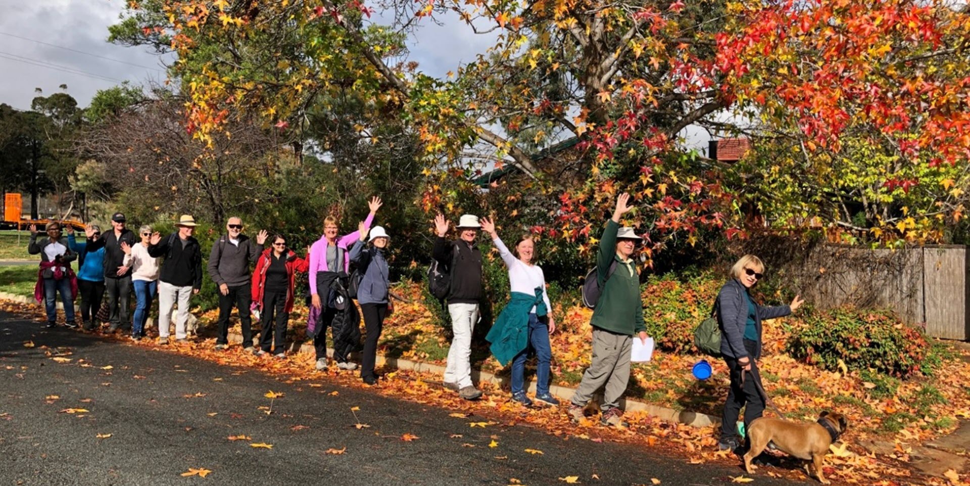
Walk Features: This loop walk takes you from the Shops through the streets, reserves and playgrounds and around the wetland.
Duration of the walk: About 1 hour and 15 minutes.
Region: North Canberra.
Information about the Suburb: Dickson was established in 1928 and named after Sir James Dickson (1832–1901) who was a Queensland advocate of Australian Federation and one of the founders of the Australian Constitution.
Walk Directions
Click here for a pdf version of the walk directions.
To get to the start of the walk proceed up Northbourne Ave, turn R into Antill St and R into Badham St. Pass the first Dickson Pl on your L and Woolley St on your R. L into the second Dickson Pl and R into the car park. Meet on the corner of Badham St and Dickson Pl opposite number 5 Badham St.
Note that streets in brackets means there is no street sign at this point of the walk.
- Proceed along Dickson Pl from Badham St.
- From the end of Dickson Pl, cross over Cowper St and go R.
- Go L onto a bitumen path that runs alongside a storm water drain on your L.
- Follow the path for quite a while until you see a viewing platform on your R.
- Go R onto a concrete path where tall light towers define the beginning of playing fields on your L.
- Follow a concrete path anti-clockwise around the pond keeping on the path closest to the water.
- Go R back onto the bitumen path with playing fields over to your L.
- Go R onto (Majura Av).
- Pass Officer Cr on your L.
- Go R onto Dutton St.
- Go L onto Eady St.
- Go L onto Dutton St.
- Pass a playground on your R.
- Go R onto Majura Av.
- Go R onto Hawdon St.
- Go L onto Ruse St.
- Go R onto Marsden St.
- Pass Kernot St on your L.
- Cross over Bates St.
- Cross over Davenport St and continue straight ahead into Archer St.
- Opposite number 24 go R down a concrete path behind houses.
- Go L onto (Wilshire St).
- Go R onto (Hope St).
- Cross over Cowper St and continue straight ahead .
- Go L onto Stockdale St.
- Just past number 49, go R down a concrete path towards a basketball practice court and a playground on your R.
- Go L onto (Hope St).
- Go R onto Doorling St.
- Go R onto Moncrieff St.
- Pass both entrances to Lowrie St on your L.
- Go L onto Morphett St.
- Pass Challis St on your R.
- Go R at an unnamed road and proceed over towards a storm water drain.
- Cross over a storm water drain on a metal grid bridge.
- Go R onto a bitumen path.
- Cross over Challis St and continue on a bitumen path.
- Go L onto Dickson Pl to its T-junction with Badham St and the end of the walk.

