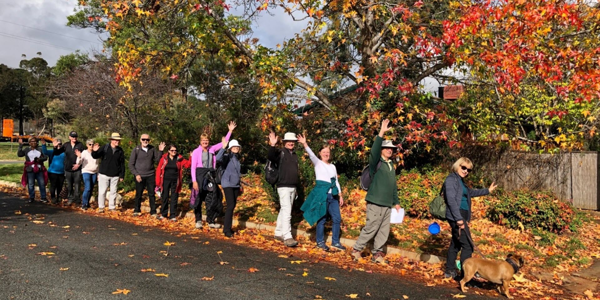
Walk Features: This loop walk takes you from the Shops through the streets, reserves and playgrounds. The suburb is noted for its trees especially in Autumn.
Duration of the walk: About 1 hour and 40 minutes.
Region: Woden Valley.
Information about the Suburb: Curtin was established in 1962 and named after John Curtin, Australian Prime Minister between 1941 and 1945. Its streets are named after state premiers.
Walk Directions
Click here for a pdf version of the walk directions.
To get to the start of the walk proceed south down Adelaide Av then Yarra Glen Dr. go R on Carruthers St, L on Theodore St, then park in the car park on your R at the Curtin Shops.
Note that streets in brackets means there is no street sign at this point of the walk.
- Proceed out to Carruthers St and cross at the lights.
- Proceed up a concrete path to a playground.
- Proceed L away from the playground over to the corner of Carruthers St and McCulloch St.
- Pass McCulloch St on your R.
- Proceed alongside Carruthers St on your L.
- At the (Carruthers St) underpass go R on a concrete path through a reserve.
- Pass a playground on your R and continue straight ahead on a concrete path through a reserve.
- Go L on a concrete path just before the (Dunstan St) underpass.
- Pass a bus stop.
- Go L onto Throssell St.
- Pass Shiels Pl on your R.
- Pass Prendergast St on your L.
- Pass a bus stop.
- Pass O’Shanasay St on your R.
- Pass Robertson St on your L.
- Pass O’Shanasay St on your R.
- Just past a post box go R on a concrete path up to a playground.
- At the playground go L on a concrete path uphill.
- Veer R on a dirt track to continue uphill through the reserve.
- Go R onto (Dunstan St).
- Go R onto Morehead St.
- Go R onto Dunstan St.
- Pass Elmslie Pl and Bowser Pl on your L.
- Pass Peake Pl on your R.
- Pass Gregson Pl on your L.
- Pass North Curtin District Playing Fields on your L.
- Pass Throssell St on your R.
- Pass a bus shelter.
- Go L onto McCulloch St.
- Go R onto Waterhouse St.
- Go L onto Peacock Pl.
- Proceed out on a bitumen path.
- Go R on a bitumen path and continue straight ahead alongside a reserve and a storm water drain on your L for quite a way.
- Proceed through the Carruthers St underpass.
- Go L on a bitumen path.
- Go R on a bitumen path.
- Go R on a concrete path through a reserve beside houses on your L.
- Before the (Theodore St) underpass go L on a concrete path.
- Pass Holman St on your L.
- Pass Curtin Primary School on your R and Cosgrove St on your L.
- Go L onto Theodore St.
- Go R onto James St.
- Pass Rason Pl on your R.
- Pass James Pl on your L.
- Pass (Wilson St) on your R.
- Go R onto Wilson St.
- Pass (Wilson St) on your R.
- Proceed out on a concrete path.
- Go sharp R on a concrete path downhill through a reserve.
- Pass a playground on your R.
- Pass a seat.
- Proceed through the (Carruthers St) underpass.
- Veer R on a concrete path around (South Curtin Neighbourhood Oval) on your L and Curtin Primary School on your R.
- Near the end of the playing field go R on a concrete path downhill.
- Take the L fork on a concrete path.
- Pass Holy Trinity Primary School on your R and continue straight ahead.
- Veer L on a concrete path.
- Veer R on a concrete path to pass a playground on your R.
- Continue straight ahead through a reserve with houses on your L.
- At the (Carruthers St) underpass go R on a concrete path.
- Pass Strangways St on your R and continue straight ahead back to the Shops on your R.

