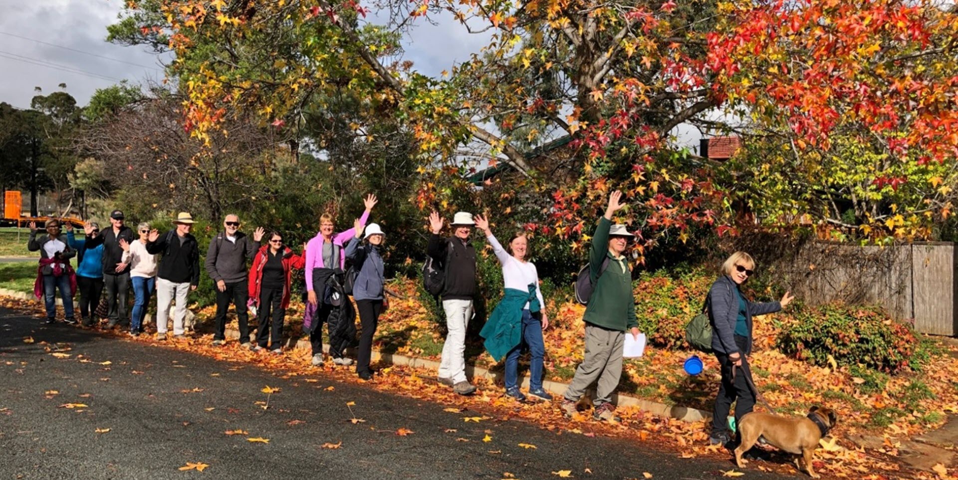
Walk Features: This loop walk takes you from the Shops through the streets, parkland and playgrounds. You will pass the vertical sundial and memorial to Captain James Cook and Sir Joseph Cook. You will also pass Pat Rubly Park.
Duration of the walk: About 1 hour and 40 minutes.
Region: Belconnen.
Information about the Suburb: Cook was established in 1968 and named after Captain James Cook and the sixth Prime Minister of Australia Sir Joseph Cook. Its streets are named after notable women from Australian history.
Walk Directions
Click here for a pdf version of the walk directions.
To get to the start of the walk proceed north along Bindubi St. Turn L into Lyttleton Cr and follow it around to the shops on Cook Pl to the L.
Note that streets in brackets means there is no street sign at this point of the walk.
- Facing the shops go L along Cook Pl to (Rowan St).
- Go R onto (Rowan St) then proceed onto a concrete path running straight ahead with playing fields on your L.
- Before the (Biffin St) underpass, go L up a slope and continue around the edge of playing fields with (Biffin St) on your R.
- Cross over an unnamed road and proceed alongside (Biffin St).
- Cross over Ellis St.
- Go L onto Templeton St.
- Go R onto Atkinson St.
- Pass Clisby Cl on your R.
- Go R onto Skinner St.
- Go R onto Moss St.
- Go R onto Skinner St.
- Pass Skene St on your L.
- Pass a vertical sundial and memorial to Joseph and Captain James Cook up to your R.
- Go L onto Oakes St.
- Go R into parkland and proceed past swings and a seat on your L.
- Go R onto (Lyttleton Cr).
- Go R onto Mackellar Cr and then L into Mackellar Cr.
- Pass Dwyer St on your R and a small grassy area on your L.
- Pass Pat Rubly Park containing a playground on your R.
- Opposite the end of the park go L down a concrete path between houses.
- Go L on a bitumen path.
- Cross over Lyttleton Cr and continue straight ahead.
- Go R onto Redfern St.
- Pass Allman St on your L and proceed past a bus shelter.
- Go R onto Dexter St.
- Go L onto Sexton St.
- Go L onto Dexter St.
- Pass Teague St on your R.
- Go R on a concrete path between houses and continue straight ahead past a grassy area on your L.
- Go R onto (Cross St).
- Cross over (Teague St) and proceed up a concrete path through a playground and bushland.
- Go L onto (Dexter St).
- Pass Dugdale St on your L.
- Go L on a concrete path through bushland to a playground.
- Continue straight ahead uphill on a concrete path.
- Go R downhill at (Bourne St). Do not cross over to a concrete path.
- Go R onto Tilden Pl.
- Go L on a concrete path out from the end of (Tilden Pl).
- Go L on a bitumen path.
- Go R onto Lyttleton Cr on a footpath.
- Go R onto Cambridge St.
- Go L onto Grylls Cr.
- Go L up a concrete path between houses.
- Cross over (Lyttleton Cr) back to the Shops.

