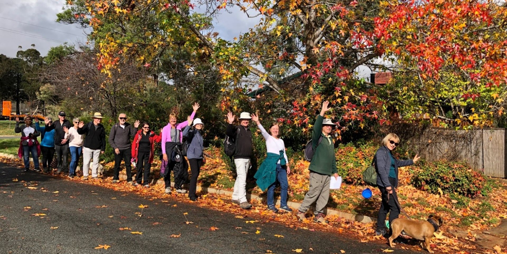
Walk Features: This loop walk takes you from the Shops through parkland and playgrounds. You will pass the historic Tuggeranong School House and Simpsons Hill.
Duration of the walk: About 1 hour and 50 minutes.
Region: Tuggeranong.
Information about the Suburb: Chisholm was established in 1982 and named after Caroline Chisholm. Its streets are named after notable women.
Walk Directions
Click here for a pdf version of the walk directions.
To get to the start of the walk proceed south down Drakeford Drive turn L into Isabella Dr, R into Bentham St, L into Halley St and R into car park in front of the Shops.
Note that streets in brackets means there is no street sign at this point of the walk.
- Proceed out to (Halley St) and go L.
- Pass the entrance to a bridge on your R.
- Cross over Benham St onto a concrete path.
- Pass Chisholm District Playing Fields on your L.
- Just before Isabella Dr underpass go L on a concrete path between houses.
- Pass a playground on your L and continue straight ahead between houses.
- Go R onto (Norriss St) at a bus stop.
- Pass Caroline Chisholm School oval over on your L and Woodburn St on your R.
- Pass a bus shelter and tennis courts on your L.
- Pass Woodburn St on your R.
- Go L onto Goldstein Cr and pass a bus stop.
- Go L onto Hambidge Cr.
- Pass Caroline Chisholm School oval on your L and a bus stop.
- Pass Truganini Pl on your R.
- Opposite a school entrance go R on a concrete path.
- Proceed through parkland on your L.
- Pass a playground way over to your L.
- Pass a seat and continue straight ahead on a concrete path.
- Proceed through the (Goldstein Cr) underpass and continue straight ahead through parkland on your R.
- Go L on a concrete path to pass a playground on your R and then continue R on the concrete path to pass the same playground on your R.
- Go L on a concrete path between houses.
- Go R onto (Durham Pl).
- Go L onto Swanton St.
- Go R onto Heagney Cr.
- Pass Beattie Cr on your R.
- Pass a bus shelter.
- Pass McLorinan St on your L.
- Go L onto Clift Cr.
- Go L on a concrete path at the (Clift Cr) underpass leaving the underpass behind.
- Proceed for quite some uphill through parkland on your R and initially alongside (Moffin St) on your L.
- Pass (Bon Pl) and (Bear Pl) on your L.
- Pass a playground on your R.
- Proceed alongside (Muntz St) on your L.
- Pass Dilboong Pl on your L.
- Pass a seat.
- Pass a large boulder and seat.
- Pass a playground and seat on your L.
- Go L at a bus shelter at (Deamer Cr).
- Cross over Heagney Cr and then go L up a concrete path to proceed through a reserve.
- Go L onto (Enid Lorimer Cct).
- Pass Curnow Pl on your R.
- Pass Enid Lorimer Cct on your L.
- Go R onto Deacon Cl.
- Pass Tuggeranong School House on your R and Simpsons Hill on your L.
- At the end of Deacon Cl go L on a brick paved road.
- Proceed out to a dirt track and go R.
- Follow the dirt track behind houses on your R and Simpsons Hill on your L.
- At the end of the houses go R down steps.
- Go L onto (Lucy Gullett Cct).
- Pass Berrell St on your L.
- Go L onto Lucy Gullett Cct.
- Pass Flockton Pl on your R.
- Go R onto Baskerville St.
- Pass a bus shelter.
- Go L down a concrete path before an iron railing bridge.
- Go L on a concrete path leaving the (Baskerville St) underpass behind.
- Cross over (Hambidge Cr) to continue straight ahead on a concrete path as it runs alongside Norriss St on your R.
- Pass Wedgwood Cl on your R.
- Go R onto Proctor St.
- Pass Sweet Pl on your R.
- Pass a playground on your L.
- Pass a bus stop.
- Pass Chisholm District Playing Fields on your L.
- Pass Maclean St on your R.
- Go L onto (Mead St).
- Go R onto Benham St to proceed around behind shops.
- Pass a bus shelter.
- Go L onto Halley St and back to a car park and the Shops.

