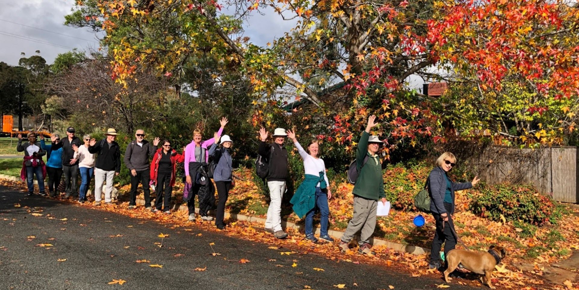
Walk Features: This loop walk takes you from the Shops steadily uphill through parks and playgrounds and onto a section of Cooleman Ridge. You also pass the site of Cooleman Farm. There are a number of sets of steps near the start of the walk and some of the route is on fire trails and dirt tracks.
Duration of the walk: About 1 hour and 45 minutes.
Region: Weston Creek.
Information about the Suburb: Chapman was established in 1970 and named after Sir Austin Chapman (1864–1926), the member for Eden-Monaro from 1901 to 1926 who held portfolios in the Deakin and Bruce governments. Its streets theme is the Australian film industry.
Walk Directions
Click here for a pdf version of the walk directions.
To get to the start of the walk proceed west out along Hindmarsh Dr towards Weston Creek. Turn L into Namatjira Dr, then R into Perry Dr. Then park at the Shops on your R.
Note that streets in brackets means there is no street sign at this point of the walk.
- Proceed out from the Shops onto (Perry Dr) and cross over it.
- Go L onto (Perry Dr).
- Pass Sidaway St on your R.
- Before an iron railing bridge veer R down a concrete path and stay R.
- Go R on a concrete path uphill through a reserve with houses on your R. The path goes straight uphill with 11 short flights of steps.
- At the top take a concrete path around to your R passing between houses.
- Proceed down (Howarth Pl).
- Go L onto (Sidaway St).
- Pass Lipman St on your R.
- Pass Tudawal Pl and Beaumont Cl on your L.
- Go R on a concrete path through a grassy reserve.
- Pass a playground on your R.
- Proceed through the (Perry Dr) underpass and continue straight ahead across Rene St and then straight ahead on the concrete path.
- Go L onto (Darwinia Tce).
- Go L uphill onto a concrete path.
- Go R onto (Rene St).
- Cross over Perry Dr and take a concrete path that zig zags uphill.
- Proceed up (Titheradge Pl).
- Go L at (Titheradge Pl) all the way downhill.
- Pass Freebody Pl on your R.
- Go R onto Winstanley St.
- Go R onto (Beaumont Cl).
- Pass Nibo Pl on your R.
- Opposite Darrell Pl go L on a concrete path between houses.
- Proceed down (Craydon Pl).
- Go R onto Sidaway St passing a grassy reserve on your R.
- Go R onto Beaumont Cl.
- Go L onto Guinness Pl and continue uphill onto a dirt road.
- Proceed through a gate.
- Go L onto a fire trail and proceed uphill.
- At the top of the hill capped by large boulders, take a dirt track down to your L. This track winds around to your R and then to your L.
- Take the R fork that veers uphill and over the ridge.
- Go R on a concrete path and follow it down two flights of stairs.
- Go R onto (Doyle Tce).
- Pass Simmons Pl on your R.
- Pass Rickards St on your L.
- Pass Hertz Pl on your R.
- Go L on a concrete path opposite Lincoln Cl between houses.
- Go L onto (Bertel Cr).
- Go R on a concrete path opposite Rickards St.
- Follow the concrete path down and around with a playground on your L. This is the site of Cooleman Farm.
- At the end of the concrete path leave the grassy reserve and proceed down a concrete path straight ahead between houses to a red post box.
- Go R onto (Perry Dr).
- Go R onto Perry Dr.
- Pass Doyle Tce on your R.
- Go L onto Tauchert St.
- Pass Emery St on your L.
- Pass Maplestone Pl on your R.
- Proceed through a grassy reserve.
- Pass a playground on your L.
- Go R on a concrete path with a playing field on your L and houses on your R.
- Go L on a concrete path.
- Go L onto (Streeton Dr) with the playing field on your L.
- Pass Chapman Primary School on your L.
- At the end of the school fence go L on a concrete path.
- Go L on a concrete path going uphill with the school on your L.
- Just before (Perry Dr) underpass go R on a concrete path.
- Go R onto (Perry Dr) and back to the Shops.

