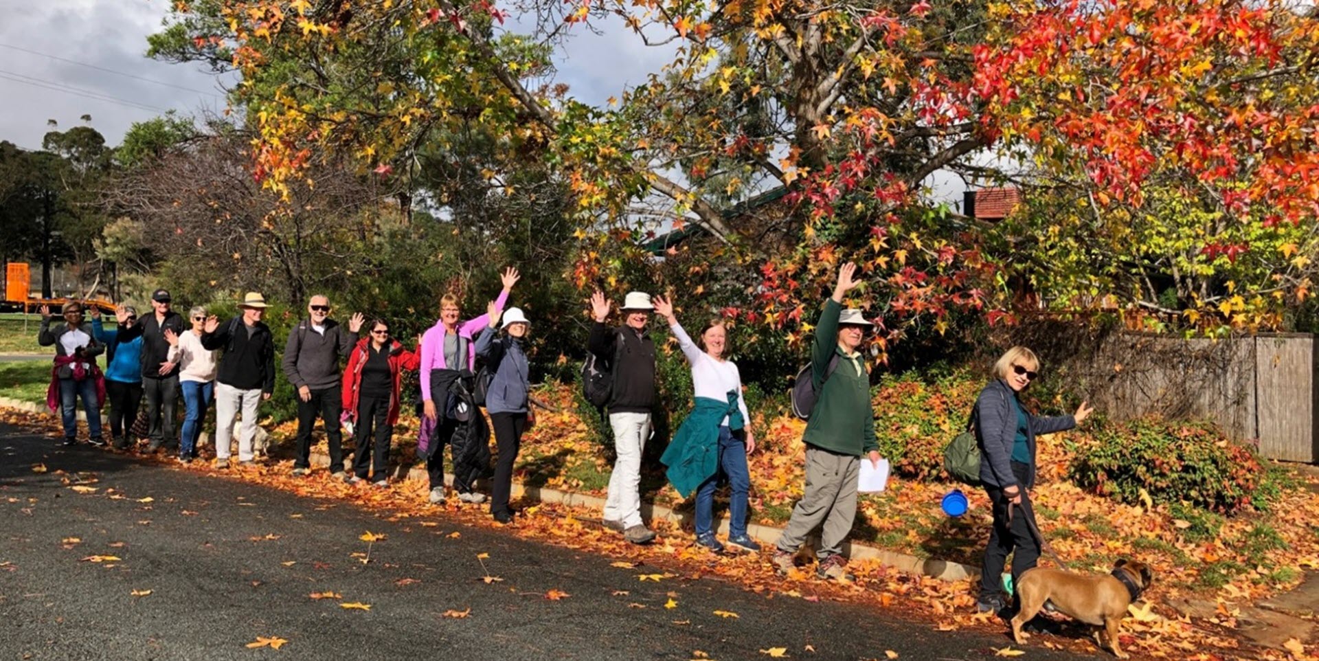
Walk Features: This loop walk takes you from the Shops steadily uphill through streets and parkland and then around Arthur Calwell Hill which affords great views of the suburb and surrounding countryside. There are several sets of steps on the route.
Duration of the walk: About 1 hour and 25 minutes plus 10 minutes for an circuit around Arthur Calwell Hill.
Region: Tuggeranong.
Information about the Suburb: Calwell was established in 1986 and named after Labor politician, Arthur Augustus Calwell, PC (1896-1973). Its streets are named for Victorian politicians.
Walk Directions
Click here for a pdf version of the walk directions.
To get to the start of the walk proceed south down the Tuggeranong Parkway and Drakeford Dr, L into Johnson Dr, R into Were St, L into Webber Cr and follow it around to park in front of the Shops.
Note that streets in brackets means there is no street sign at this point of the walk.
- Facing away from the Shops, proceed out to (Webber Cr) and go L.
- Pass the Early Childhood Centre on your R.
- Cross over (Were St).
- Head across to a playground and pass it to your L.
- Proceed uphill on a concrete path.
- Pass another playground on your R.
- Opposite Calwell Primary School go R on (Casey Cr).
- Go L onto Downard St.
- Opposite the school entrance, go R on a concrete path between houses.
- Proceed down (Brake Pl).
- Go L onto Mountain Cct.
- Pass Cathie Pl on your L.
- Go L on a concrete path through parkland passing a playground on your R.
- Veer L on a concrete path out to (Zox Cct) and go R downhill.
- Pass McCaw Pl and Zox Cct on your L.
- Go L onto Gurr St. Look over to Tuggeranong Hill.
- Go R on a concrete path between houses.
- Go R onto (Denovan Cct).
- Go R on a concrete path through a reserve.
- Go L onto (Outtrim Av).
- Pass Carter Cr on your R.
- Pass a bus stop and seat.
- Pass Duggan St on your L.
- Go L on an unnamed road with a playing field on your R.
- Veer R out from the end of the road keeping the playing field on your R.
- Go L on a bitumen path.
- Cross over (Pennington Cr) and continue straight ahead.
- Veer L on a a concrete path to pass a playground on your R.
- Go R onto (Beckett St).
- Go L onto Pennington Cr.
- Pass Beazley Cr on your R.
- Go R onto Duggan St.
- Pass a bus shelter and a bus stop.
- Pass Andrew Cr on your L.
- Go L onto Fidge St.
- Go L on a concrete path across a water course.
- Proceed up steps between houses.
- Go L onto (Burtt Cr).
- Opposite number 30 go L on a concrete path and up four flights of steps.
- Go R onto (Tatchell St).
- Go L onto Ievers St.
- Go L onto O’Connor Cct.
- Go R up steps.
- Go R on a concrete path.
- Go R onto a bitumen path.
- Go R on a gravel track to proceed all the way around Arthur Calwell Hill. Note Tuggeranong Hill.
- Go R on a bitumen path.
- Turn R on a bitumen path going downhill.
- Pass through a gate.
- Cross over (O’Connor Cct) and proceed down a concrete path and steps.
- Go R onto (Martley Cct).
- Pass Mibus Pl on your R.
- At Creswick Pl on your L, go R down a concrete path.
- Go R onto O’Connor Cct.
- Pass Benson Cr on your L.
- Go L onto Phillipson Cr.
- Next to number 25 go L on a concrete path between houses.
- Go L on a bitumen path.
- Pass a playground on your R.
- Cross over (Casey Cr) and go L then R on a bitumen path running alongside a water course on your R.
- Go through the (Were St) underpass.
- Go L on a concrete path at a white/blue sign to Calwell Centre and back to the Shops.

