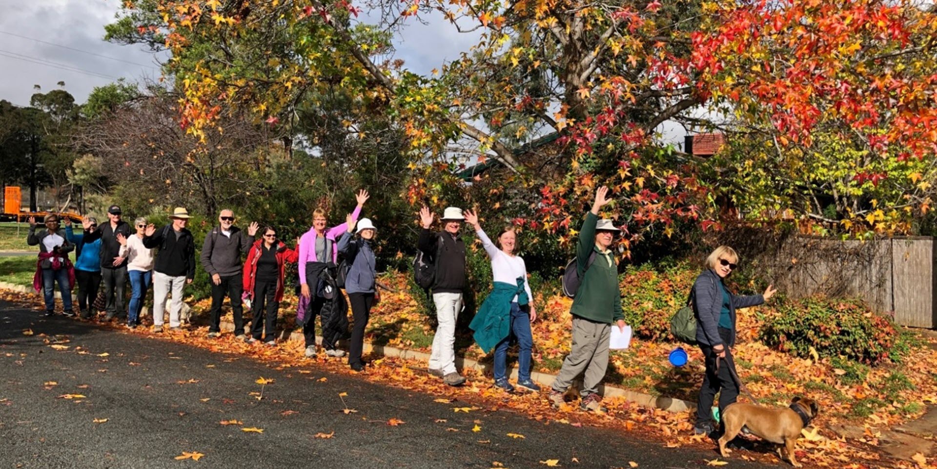
Walk Features: This loop walk takes you from the Shops through the streets, into bushland, past Radford College, and beside Bruce Pink Lake.
Duration of the walk: About 1 hour and 40 minutes.
Region: Belconnen.
Information about the Suburb: Bruce was established in 1968 and named after Stanley Melbourne Bruce, Nationalist, 8th PM; first Chancellor of ANU; first PM to lose their seat, at the 1929 election. Many of its streets are named after people and places associated with tertiary education in Australia.
Walk Directions
Click here for a pdf version of the walk directions.
To get to the start of the walk proceed west along Belconnen Way, turn R into Haydon Dr then R into Eardley St, R into Thynne St and park in the small car park in front of the Shops on your R.
Note that streets in brackets means there is no street sign at this point of the walk.
- Facing away from the Shops go R along (Thynne St).
- Pass Traeger Ct and Baudinette Cct on your R.
- Go R t the roundabout onto (Watkin St).
- Go L onto Battye St.
- Pass a bus stop.
- Go R onto Purdie St.
- Pass Eastaugh Pl and Vowels Cr on your R.
- Just past Vowels Cr take a bitumen path to your L into the bush and then go R onto another bitumen path that roughly runs alongside Purdie St.
- Go L onto Haydon Dr.
- Cross over Haydon Dr before bus shelters on your L.
- Go L on a bitumen path at the white/blue sign to Belconnen.
- Cross over Jaeger Cct.
- Go R on a bitumen path as it runs alongside Jaeger Cct.
- Pass three cul-de-sacs (Goldsworthy Pl, Isles Pl and Fitzherbert Pl) on your R.
- As the bitumen path runs parallel to (Belconnen Way) take the bitumen path to your R at a white/blue sign to Aranda, and then immediately to your L.
- Continue past the entrance to a bridge over (Belconnen Way) on your L.
- Go R up a steep bitumen then concrete path and at its end go L on a bitumen road and follow it around and through a gate onto (Mugglestone Pl)
- Go L onto (Mugglestone Pl).
- Pass a playground on your L.
- Go R onto (Crisp Cct).
- Just past number 84, go L on a concrete path downhill.
- Proceed over a wooden bridge.
- Pass a playground on your L and continue on the concrete path all the way downhill as it winds through the reserve.
- Go R onto (Crisp Cct).
- Pass Cobbett Pl on your R and Whelan St on your L.
- Go L onto Hytten Pl.
- Proceed through a gate and uphill on the Bitumen Fire Trail.
- After the first steep part of the trail and on the bend, go L on a narrow dirt track.
- Go R on the Centenary Trail and continue straight ahead for quite some way.
- Ignore the Centenary Trail turn to your R and proceed through a gate at the Canberra Nature Park Gossan Hill sign.
- Veer R up to a gravel road then go L downhill.
- Go L on a concrete path.
- Go R onto College St.
- Pass Radford College and its playing fields on your R.
- Cross over Haydon Dr at the lights then go L.
- Veer R onto a dirt track and follow it around to your R and down to Bruce Pink Lake on your L.
- Keep following the track down steps near a low stone wall as it runs alongside the lake.
- Continue on the path alongside the lake.
- Cross over (Eardley St) and continue straight ahead on a dirt track as it continues alongside the lake.
- Go L at a junction to continue on the dirt track.
- Join a concrete path as it runs alongside (Haydon Dr).
- Veer R onto a dirt track before a bus shelter, taking you up to (Lange Pl).
- Proceed up (Lange Pl).
- Go R onto Lampard Cct.
- Go R onto Lampard Cct at the roundabout.
- Go R onto (Thynne St).
- Pass Tauss Pl and Eardley St on your R, and back to the Shops.

