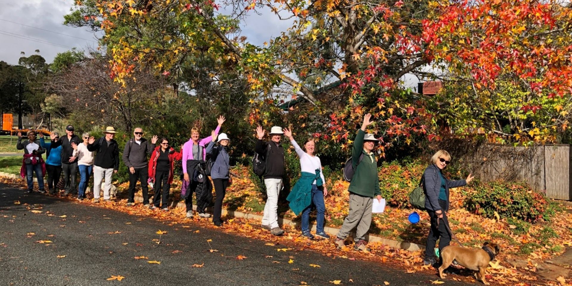
Walk Features: This loop walk takes you from the Shops through the streets, playgrounds and parks of Banks.
Duration of the walk: About 1 hour and 35 minutes.
Region: Tuggeranong.
Information about the Suburb: Banks was established in 1992 and was named after after Sir Joseph Banks (1743–1820), the botanist who accompanied Captain James Cook to Botany Bay in 1770. The theme of the street names is botany or natural history.
Walk Directions
Click here for a pdf version of the walk directions.
To get to the start of the walk proceed south down the Tuggeranong Parkway and Drakeford Dr which then runs into Tharwa Dr. IGNORE the Tharwa Dr going off to the L and continue straight ahead. Go L into Pockett Ave and follow it around to the Shops on the L.
Note that streets in brackets means there is no street sign at this point of the walk.
- Proceed to Pockett Av and go R.
- Pass Brockman Cct on your R.
- Go L onto Forsythe St.
- At a bus stop go R up a concrete path.
- Go L onto Bellchambers Cr.
- Pass a playground on your L.
- Pass Menzies Ct on your L.
- Just after number 48, go R through a reserve.
- Go L on a dirt track and proceed uphill beside a fence on your R.
- Veer R on a dirt track opposite (Booderee Pl).
- Go L on a gravel road and later a tarred one as it runs across top of the suburb down on your L.
- When the road goes steeply downhill and around to the L, go L at an unnamed road.
- Just after a gate go R through posts and down a concrete path.
- Follow the path and a grassy area all the way down through the reserve.
- Cross over (Forsythe St) and continue all the way down a concrete path through the reserve.
- Proceed through the (Pockett Av) underpass.
- Proceed on a concrete path with a storm water drain on your R.
- Just past Opal St on L, the go R on a bridge across the storm water drain.
- Follow the path as it winds through a playground.
- Cross over another bridge and go L with houses on your R and the storm water drain on your L.
- Follow the path for quite some way.
- When you see a low wooden fence running alongside (Tharwa Dr) ahead, go R on a concrete path between houses.
- Go L onto (House Cct).
- Just past number 30 go L on a concrete path.
- Go R onto (Bastow Cct).
- Go R into Bastow Cct.
- Pass Abercrombie Cct on your L.
- Go L onto Pockett Av.
- Go R onto Thomas Hart St.
- Go L onto Wilhelm Cr.
- Go L on a dirt track through a low wooden fence.
- At the end of the houses go R and proceed along the grassy area behind houses on your R and a storm water drain down to your L.
- Near the (Tom Roberts Av) underpass, go R a concrete path between houses.
- Continue down (Prentice Pl).
- Go R onto McLuckie Cr.
- Go R onto Wiburd St.
- Go L onto Brittlebank Cct.
- Pass Patton Pl on your R, Ising Pl on your L, Allitt Pl and Bate Pl on your R.
- Go R onto Adcock Pl.
- Go L on a concrete path between houses
- Go R onto (Paperbark St) and pass Kettlewell Cr on your L.
- Go R down a concrete path and proceed all the way downhill with a storm water drain on your L.
- Go L onto Troughton St.
- Go R on a concrete path through to a playground on your L.
- At a playground go R a concrete path.
- Go R onto (Wilson Cr).
- Pass Mathews Pl on your R and Hill Pl on your L.
- Go L onto Pockett Av.
- Go R at a bus stop into Betty Maloney Cr.
- Go L onto Opal St.
- Go L onto Betty Maloney Cr.
- Go L onto Brockway Cct.
- Pass White Pl on your R.
- Go L onto Pockett Av and back to the Shops.

