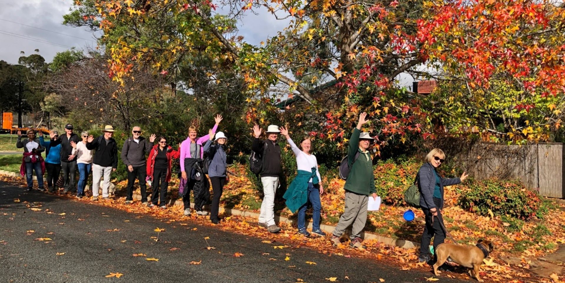
Walk Features: This loop walk takes you from the Shops through playgrounds and parks and alongside Yerrabi Pond, near Ginninderra Creek and along part of the Bicentennial National Trail. You also visit the remains of Crinigan’s Stone Cottage.
Duration of the walk: About 1 hour and 40 minutes.
Region: Gungahlin.
Information about the Suburb: Amaroo was established in 1994 and means ‘a beautiful place’ in one of the local Aboriginal dialects. Its streets are named after Australian rivers and lakes.
Walk Directions
Click here for a pdf version of the walk directions.
To get to the start of the walk proceed north on Gungahlin Dr, R into Gundaroo Dr, L Horse Park Dr, L Katherine Av, L Pioneer St and L Emerald Way. Park in front of the Shops.
Note that streets in brackets means there is no street sign at this point of the walk.
- From the corner of Pioneer St and Emerald Way proceed away from the Shops down Pioneer St.
- Pass Crossman St on your L.
- Go R onto Mornington St.
- Pass Armada St on your R.
- Go L onto Alice St.
- Cross over Rollston St and then Proserpine Cct onto a concrete path.
- Pass a playground on your L.
- Go L onto Proserpine Cct.
- Go L onto Katherine Av.
- Pass Cooloola St on your R and then a bus shelter.
- Pass Proserpine Cct on your L.
- Pass a bus stop then Clarendon St on your R.
- Pass Carstairs Cct on your L and proceed past a grassy reserve on your L.
- Pass Heatherdale St on your R.
- Go R onto Benaroon Cct.
- Veer L on a concrete path.
- Veer R on a bitumen path and continue straight ahead with a grassy reserve on your L.
- Go R on a bitumen path alongside Yerrabi Pond on your L.
- Pass a bridge on your L and a playground on your R and continue straight ahead alongside the pond.
- Just before another bridge, go R on a bitumen path with the pond on your L.
- Go R on a bitumen path to proceed up through parkland.
- At a playground follow a bitumen path around to your L.
- Go L onto (Lockhart Pl) into (Cooringle Cl).
- Just after number 36 go L on a concrete path between houses.
- Go L onto (Sandover Cct).
- Pass Grace Pl on your L.
- Go L onto Styx Cl.
- Proceed out from the end of the cul de sac and go R on a bitumen path.
- Go R at the next junction as you continue alongside the pond for quite some way.
- Go R on a concrete path/bitumen path around a playground on your R.
- Go R on a concrete path between houses and then alongside (Lett Cr).
- Go R onto Lander Cr,
- Go L onto Roderick St.
- Go L onto Lander Cr.
- Go R onto Clara Cl and between numbers 7 and 9 proceed down a concrete path.
- Go R on a bitumen path.
- Cross over Shoalhaven Av.
- At an underpass and a wooden bridge over to your L, go R on a bitumen path behind houses on your R.
- At Burdekin Av continue on a bitumen path around to your L.
- Go L on a concrete path to pass a playground on your R.
- Continue across the grass to the remains of Crinigan’s Stone Cottage.
- Retrace your steps past the playground on your L.
- Go L on a bitumen path.
- Pass (Wanderer Ct) on your R.
- Just before an iron railing bridge go R on a bitumen path uphill as it runs behind houses on your R.
- Stay on a bitumen path as it proceeds alongside (Evella Ct).
- Continue straight ahead passing a bitumen path on your L.
- Pass a church on your L as the path proceeds on a concrete path alongside (Burdekin Av) on your R.
- Pass a school on your L.
- Pass Yule St on your R.
- Pass Amaroo School on your L.
- Go L onto (Katherine Av).
- Pass Mornington St on your R.
- Go R onto Pioneer St.
- Go L onto Emerald Way and back to the Shops.

