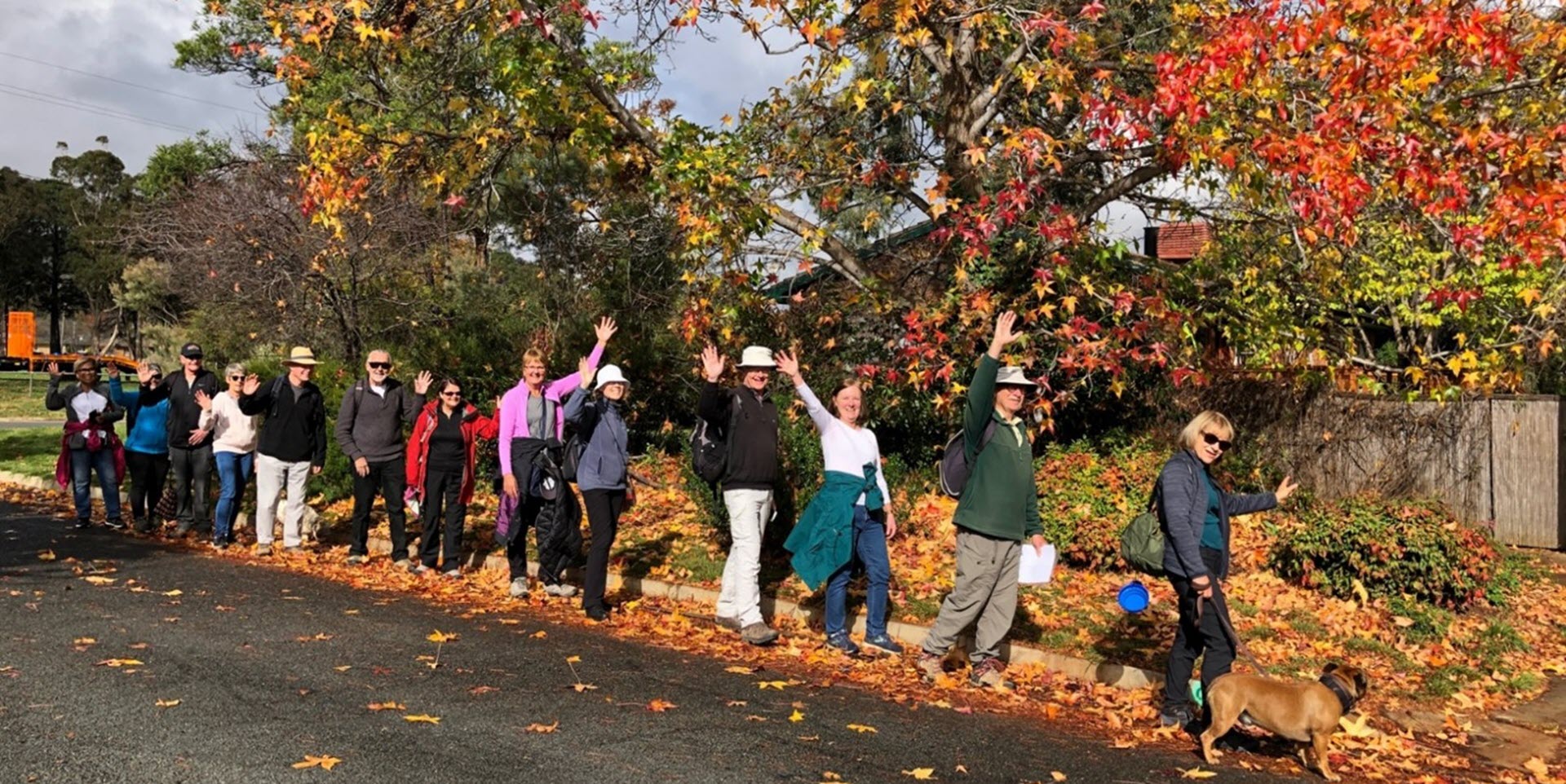
Walk Features: This loop walk takes you from the Shops through parkland, streets and playgrounds. Some of the walk is on a dirt track.
Duration of the walk: About 1 hour and 30 minutes.
Region: Woden Valley.
Information about the Suburb: Farrer was established in 1967 and named after William James Farrer (1845–1906), who was a wheat-breeding pioneer, many of whose experiments were conducted at Lambrigg near Tharwa. Its streets are named after agriculturalists, with the exception of Lambrigg Street, which was the name of Farrer’s property in Tharwa.
Walk Directions
Click here for a pdf version of the walk directions.
To get to the start of the walk proceed south down Athlon Dr turn L into Beasley St, R into Lambrigg St, L into Marshall St and R into Farrer Pl and park in front of the shops.
Note that streets in brackets means there is no street sign at this point of the walk.
- Facing away from the Shops go R to near the end of the car park.
- Go L down a concrete path.
- Go L on a concrete path away from the (Longerenong St) underpass to your R.
- Pass a playground over to your R.
- Go through the (Marshall St) underpass and continue straight ahead, ignoring a concrete path just after you go through the underpass.
- Go L on the next concrete path that proceeds gently uphill.
- Cross over (Gluyas St).
- Go R onto (Lambrigg St).
- Pass Pridham St on your L and Gluyas St on your R.
- Go L onto Pridham St.
- Pass Potts Pl, Aird Pl and Ward Pl on your L and Watt Pl on your R.
- Go L onto Moodie St. Note Mt Taylor straight ahead.
- Pass a playground on your L.
- Cross over Pridham St.
- Proceed out from the end of Moodie St up a dirt track to (Prior Pl), the first on your L.
- Go down (Prior Pl).
- Go R onto Custance St.
- Cross over Cameron St.
- Go R onto Hawkesbury Cr.
- Pass (Pye Pl) on your L, Valder Pl on your R, Steinwedel St on your L, cross over Muresk St and pass Woodgate St on your L.
- Pass a grassy reserve then go L down a concrete path.
- Pass a playground over to your R.
- Pass (McAlpine Pl) on your L.
- Go R onto (Wenholz St).
- Go R onto Lambrigg St.
- Go L onto Pudney St.
- Go L on a concrete path with a playground on your R.
- Go R onto (Hagelthorn St).
- Pass Raw Pl on your L and Crowe Pl on your R.
- Cross over Hawkesbury Cr onto a concrete path.
- Proceed through a fence and go L onto a fire trail just after the Canberra Nature Park Farrer Ridge sign.
- Cross over (Dookie St) and continue straight ahead on a dirt track.
- Go L on a concrete path.
- Go R down (Olliff Pl).
- Go R onto Roseworthy Cr.
- Pass Werribee Cr on your L.
- Proceed L on a concrete path down a reserve.
- Take the R fork and proceed downhill with houses on your R.
- Go R onto (Longerenong St).
- Go L on an unnamed road and proceed straight ahead to pass through a playground.
- Go R on a concrete path.
- Pass through the (Longerenong St) underpass.
- Go L on a concrete path and back to the Shops.

